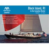
PAPR08; Region 8 Paper Chart Kit
Model: PAPR08 Brand: Maptech
ChartKits are full-color reproductions of U.S. government and private charts spiral bound into popular cruising regions with aerial photos, pre-plotted courses and more. The convenient-sized books are large enough to allow for manual plotting, yet small enough to sit on your nav-station or lap. Waterproof covers are available. « less
Product Specification
-
Universal Product Identifiers
Part Number: PAPR08
Related Products
-
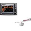
Package(E90W, GPS Antenna, RA1072HD 4KW 72 Inch HD Digital Open Array Radar & 15m Radar Cable )
-
2-020 Outdoor US Rockies Chart for Endura Series
-
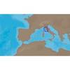
EM-C950 C-Card Format - Marina Di Carrara
-
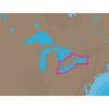
NA-C103 C-Card Format Erie Ontario & Trent Severn
-
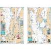
Lake Champlain Fishing South - Waterproof Charts
-
010-C0924-20 Bluechart G2 HXAW005RThe Gulf & Red Sea Microsd/sd
-
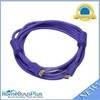
10ft 28AWG High Speed HDMI Cable w/Ferrite cores - Purple
-
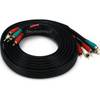
12ft 22AWG 5-rca Component Video/audio Coaxial Cable (RG-59/U) - Black
-
International 18-80414 Teleflex Marine Fuel Connector
-
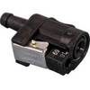
Marine Products Plug Wire Set 9-28048
-
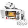
Fixed Mount VHF Marine Radio Whit UN-U*415
-
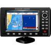
CPF300I 7" GPS Chart Plotter / Fishfinder Combo