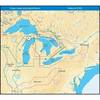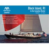
PAPR06; Region 6 Paper Chart Kit
Model: PAPR06 Brand: Maptech
ChartKits are full-color reproductions of U.S. government and private charts spiral bound into popular cruising regions with aerial photos, pre-plotted courses and more. The convenient-sized books are large enough to allow for manual plotting, yet small enough to sit on your nav-station or lap. Waterproof covers are available. « less
Product Specification
-
Universal Product Identifiers
Part Number: PAPR06
Related Products
-
AP5013 Autopilot with AP50, J50, Rudder Feedback RF300, HLD2000SD (Short Stroke, Dual)
-
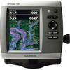
0100077300 Gpsmap536 Plotter
-
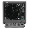
JMA-5322-9 Radar 96 NM with 9' Open Array & 19 Inch LCD Monitor
-
NT+ Wide Map, Ohio River: Cairo to Pittsburg NA-C039
-
WPC007; Bstn HBR to York Me Ed 4
-
CWP320 Instrument Companion Waypod
-
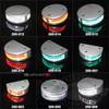
LED Navigation Lights, Single Port Rnd Vessel Size 165 Each
-
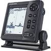
LS4100 Fish Finder with Dual Frequency Bronze Thru-Hull Transducer
-
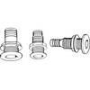
Th-1202-B Thru Hull 1-1/8" White 1-1/4" Hull
-
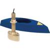
B45-DO-RCA 600W Thru-Hull Transducer RCA Connector
-
115V Seawater and Air Distribution Kit for 12,000 BTU Units
-
t50423 Marine Hand-Held Dual Band Transceiver