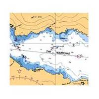
Vancouver Harbour,Eastern Portion Indian Arm Chart
3495; Canadian charts of the Pacific region Encompasses the Strait of Georgia - Canada Note: Ensure that your charts are kept current to reflect changes to that area
Product Specification
-
Universal Product Identifiers
Part Number: 3495
Related Products
-
NAVPILOT 720OB Autopilot for Outboard without Pumpset
-
T-941 4KW 36NM Radar 25" Radome 10M Cable
-
BlueChart g2 Vision - Tampa to New Orleans - Maps
-
Canada g2 - Maps
-
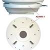
ADA-M31 Dual Mount Adapter f/KVH M1 Map
-
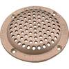
6" Round Bronze Strainer Made in The USA
-
0493004PLB 1/2" IPS Intake Strainer Bronze
-
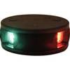
LED Bicolor Light Black 12V/24V ASL-341007
-
720071-1 as Sw Y Ethernet Cable f/Speed & Temp Sensor
-
Hook Cable Clips with Steel Nail, 10mm, 100pcs/Pack
-
USB cable - 4 pin USB Type A - M - PC
-
HST-DFSBL Transom Mount Transducer 50/200kHz Depth and Temp Blue Connector wdfsbl
