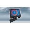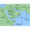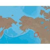
NA-C705 Furuno FP Format Banks Is BC Sumner Strait AK
Model: NA-C705 Brand: C-Map
With are Electronic Sharts C-Maps we have: Olympia, Washington to Port Mcneill, British Columbia. Nannose to Victoria to Cape Scott Texada Island to Caamano Sound Cape Caution to Portland Canal Banks Island, British Columbia to Sumner Strait, Alaska Dixon Entrance to Icy Bay Gulf of Alaska Western Alaska NA-C705 Banks Island, BC To Sumner Strait, Alaska NT+ Cartography NT+ electronic charts feature much wider coverage areas at substantially lower prices. « less
Product Specification
-
Universal Product Identifiers
Part Numbers: 20183, NA-C705FURUNOFP
Related Products
-
AP5011 Autopilot with AP50, J50, Rudder Feedback RF300, HLD2000L (Long Stroke)
-
SP110RF-6 SP-110 System w/Rudder Feedback & Mechanical Remote D
-
CH250BB/88/225 88 kHz Black Box Searchlight Sonar System. Includes 250mm Travel Hoist and Operates at 12VDC
-
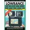
Chartplotter 330c, LMS-335cdf,480m,480mdf Sonar/Chartplotters [DVD]
-
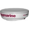
T92184 RD424HD 4KW 24 in HD Dome w/ Cable
-
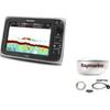
Package(e97 with USA Coastal Chart, 4KW 18 Inch Digital Radome & Radar Cable)
-
MapSource BlueChart - Red Sea - Maps
-
NT+ Wide Chart (European Region & Middle East)
-
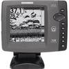
700 Series 718 - Fishfinder - included transducer : XNT-9-20-T - dual-beam
-
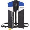
Sospenders 1271 24G Manual Inflatable Vest - Blue
-
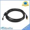
15ft USB 2.0 A Male to Micro 5pin Male 28/24AWG Cable w/ Ferrite Core (Gold Plated)
-
SP-X Speed Probe X-Series Connector wspx