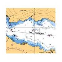
Howe Sound Chart
3526; Canadian charts of the Pacific region Encompasses the Strait of Georgia - Canada Note: Ensure that your charts are kept current to reflect changes to that area
Product Specification
-
Universal Product Identifiers
Part Number: 3526
Related Products
-
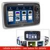
E7 7" Multifunction Display Internal GPS Canadian T70004
-
Rite 250 Manufacturing Marine T-Beam GPS Surface
-
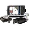
HDS 8, 8m, 10, 10m, GPS Chartplotter/Sonar [DVD]
-
010-00484-04 - 6' Open Array for XHD Pedestal
-
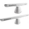
121-38 LRA 1800 Radome 18" 2KW Broad
-
BlueChart g2 Vision - Mobile to Lake Charles - Maps
-
Canadian Charts Qu.Charlot Str.W.Portion/Bull Harb.
-
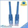
Cat6a Ethernet Cable | 7ft | Blue | Network | 10 Gigabit
-
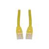
Patch cable - CAT 6 - RJ-45 - M - Unshielded twisted pair (UTP) 7 ft - Yellow
-
50HM1 50 Amp - 125/250VAC Male Plug
-
GPSMAP 4212 Network Bundle Includes GSD22 & Gxm51 p2683
-
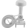
Tram 1655 8-ft Marine GPS Antenna