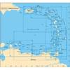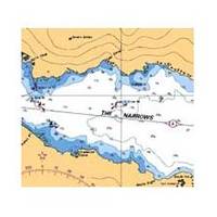
Canadian Charts 3312 Jervis Inlet and / et Desolation Sound Chart
Model: 3312 Brand:
3312; Canadian charts of the Pacific region Encompasses the Strait of Georgia - Canada Note: Ensure that your charts are kept current to reflect changes to that area
Product Specification
-
Universal Product Identifiers
Part Number: 3312
Related Products
-
A29 Imray Dominica Marine Nautical Chart
-
Max Chart for New Zealand in SD Format, M-AU-M001
-
2798.91 FBRS 2798 Battery Replacement Service
-
BlueChart g2 Vision - Puget Sound to Port Hardy - Maps
-
E7 7 Multifunction Display - Internal GPS - Inland Charts
-
#9428 2nd Station Point Pad F RCL 75
-
GP230 3 Intrument Uncut (Replaces NP2003)
-
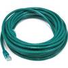
25ft 24AWG Cat5e 350MHz UTP Bare Copper Ethernet Network Cable - Green
-
LED Navigation Lights, Masthead Tricolor (2nm) V.S. 65 ft
-
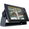
NavNet 3D Color 12.1" LCD Multifunction Display
-
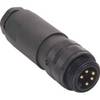
M1A5006-34DN Mini Field-Attachable Connectors (Male)
-
Hi-Lo 9" Fixed Height 2-3/8 Plug-in Pedestal Set - Springfield Marine