5209; Map-Roosevelt Lake
Model: 5209 Brand: Fish-n-Map
FISH-N-MAP UNDERWATER TOPOGRAPHY MAPSMade of waterproof, tear resistant plastic. Features include: underwater depth contours, fish locations, latitude and longitude for GPS, multiple freshwater lakes on one map, boat ramps, recreational facilities and much more.
Product Specification
-
Universal Product Identifiers
Part Numbers: 250137, 5209GTIN: 00761428052094
Related Products
-
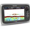
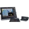
e7D 7 Inch Multifunction Display with Sonar, Internal GPS - No Charts Preloaded E62355 c41991
-
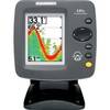
300 Series 141c - Fishfinder - included transducer : XNT-9-20-T - single-beam
-
010-C0764-10 Bluechart G2 HEU005RIreland West Coast Data Card
-
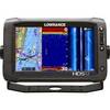
000-10775-001 HDS-12 Gen2 Touch Insight - No Transducer
-
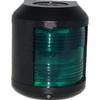
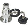
41220-1 S41 Starboard Navigation Light 24V, Black
-
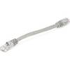
0.5ft 24AWG Cat5e 350MHz UTP Bare Copper Ethernet Network Cable - Gray
-
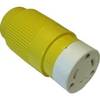
30F1 30 Amp - 125VAC Female Connector
-
West Marine Electrical Connectors Four Pin
-
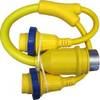
A3030Y30W Y Adapter - 2 30 Amp 125VAC Connectors -to- 1
-
710234-1 XTM-9-DI-25-T Trolling Motor Transducer
-
NAC-FRD2FBL NMEA Network Adapter Cable 127-05
-
000-10143-001 - Sonichub Marine Audio Server for NSX