Asset 1
News
All
Companies
Products
News
Advertise
News
Products
Companies
Home
Marine Navigation, 800 X 480, Tilt & Swivel
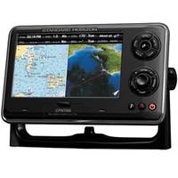
CPN700i 7" WiFi ChartPlotter
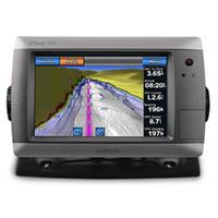
GPSMAP� 720 Stand-alone Touchscreen Chartplotter, GPS, Basemap Only, 7"
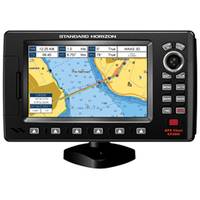
CP390i 7" ChartPlotter
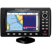
CPF390i 7" Chartplotter/Fishfinder Combo
Refine Search
marine navigation
(
x
)
•
800 x 480
(
x
)
•
tilt & swivel
(
x
)
•
(1-4 of 4)
clear
Category
Chartplotters
(1)
Fishfinder & GPS Combos
(1)
Network Displays
(2)
Brand
Garmin
(1)
Standard Horizon
(1)
Accepts Data Cards
Not Stated
(2)
Yes
(2)
Antenna
Internal
(4)
Application
Marine Navigation
(4)
Battery Type
No Battery
(4)
Cartography
US Coastal, Canada Coastal
(3)
Worldwide Basemap
(1)
Dimensions
9.9"W x 5.75"H x 1.5"D
(2)
8.8"W x 5.6"H x 3.1"D
(1)
9.3"W x 6.9"H x 2.6"D
(1)
Display Resolution
800 x 480
(4)
Interface
NMEA 0183
(2)
NMEA 0183, NMEA 2000
(1)
USB, NMEA
(1)