Products
-
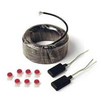
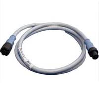
Connection Cable XLPE 20M
Sailor Connection Cable XLPE 20M
-
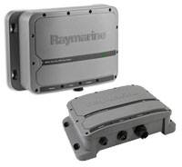
Control Area Networking (CAN) Kit
-
Cover for Fish Finder 300C
-
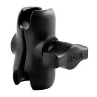
Composite Short Double Socket Arm f/1" Ball
RAM Mount Composite Short Double Socket Arm f/1" Ball, see RAM Mount features below.
-
Composite Splitter Female to 2 Males
Interphase Composite Splitter Female to 2 Males, see Interphase Composite features below.
-
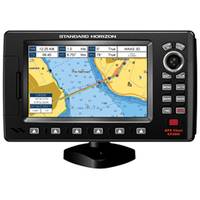
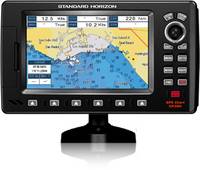
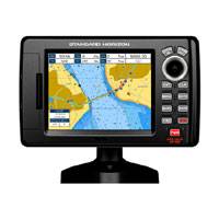
CP190i 5" ChartPlotter
-
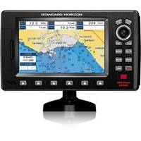
CP390i 7" ChartPlotter
-
Connector Cable
-
Cover for WR600 Remote, Gray
-
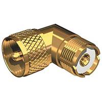
Connector, Gold Plated PL259-SO293
-
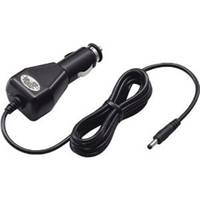
CP-17L Charger Cable
-
CP24 Cigarette Lighter Adpter for the M24
-
Course Computer Unit (CCU), GHP� 20 for Hydraulic Steering
-
CP190iNC
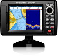
5" WAAS GPS CHART PLOTTER WITH INTERNAL ANTENNA 5 1D Color TFT daylight viewable LCD display Internal 50 channel WAAS GPS receiver and antenna. Connection for the optional external 50 Channel WAAS GPS Smart antenna C-MAP NT+ and C-MAP MAX compatible Fish Finder and AIS capable Displays DSC Distress and Position report calls received from a DSC VHF radio Customizable data windows GPS Status, Chart, Navigation, Highway, Celestial, Tides, Chart/Fish, and AIS pages 3000 Marks / 50 Routes 20 Tracks with 10000 available track points Dual chart window with independent zoom levels Satellite images on base map Font size selection on chart page Navigation and Route line thickness Find Key, allows quick access to Port information, tide stations, wrecks, Point Of Interest and coordinates (with optional C-Map MAX) Navigate to an Olympic route Automatic switching of Daylight savings time Route checking Supplied with a swivel mounting bracket and flush mounting hardware Dedicated MARK, ROUTE and INFO keys Overall dimension: 4.4"W x 7.1"H x 1.7"D Flush mount cut out: 3.4"W x 6.5"W 2 NMEA inputs / 3 outputs 3 Year Waterproof Warranty
-
CP390iNC
7" WAAS GPS CHARTPLOTTER WITH INTERNAL ANTENNA 7 1D Color TFT daylight viewable LCD display Internal 50 channel WAAS GPS receiver and antenna. Video input with Picture in Picture display Connection for the optional external 50 Channel WAAS GPS Smart antenna C-MAP NT+ and C-MAP MAX compatible Fish Finder and AIS capable Displays DSC Distress and Position report calls received from a DSC VHF radio Customizable data windows GPS Status, Chart, Navigation, Highway, Celestial, Tides, Chart/Fish, and AIS pages 3000 Marks / 50 Routes 20 Tracks with 10000 available track points Dual chart window with independent zoom levels Satellite images on base map Font size selection on chart page Navigation and Route line thickness Find Key, allows quick access to Port information, tide stations, wrecks, Point Of Interest and coordinates (with optional C-Map MAX) Navigate to an Olympic route Automatic switching of Daylight savings time Route checking Supplied with a swivel mounting bracket and flush mounting hardware Dedicated MARK, ROUTE and INFO keys Overall dimension: 9.9"W x 5.7"H x 1.5"D Flush mount cut out: 9"W x 4.3"H 4 NMEA inputs / 5 outputs 3 Year Waterproof Warranty
-
Constant Running Pumps Family
Powerful - Suitable for steering cylinders up to 200cu in (3500cc)Econimical - High performance, low power consumption, compact designFully Integrated Design - No complicated external pipes or fittings to break or leakSuitable for small commercial vessels and large yachtsPower And Control - Fully IntegratedOctopus Constant Running pumps are used in larger, heavy duty hydraulic steering systems where normal reversing pumps cannot be used. The precision pump includes an inbuilt hydraulic fluid reservoir and a tandem center solenoid control valve. Available with AC or DC motors.Pump 08SelectionThe pump selected must match the size of the vessels steering ram and the power supply capability of the autopilot must also be considered. For optimum autopilot performance the pump should be able to drive the rudder hardover from lock to lock within 13-15 seconds. The drive flow rate should be approximately four times that of the steering ram volume.
-
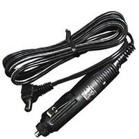
CP-17L Cigarette Lighter Cable
For operation and charging with a 12 V cigarette lighter socket for M1/M2A/M88/M32.
-
CP450C CHIRP Sonar
Raymarine CP450C CHIRP Clear Pulse Precision Sonar technology goes beyond conventional sonar and offers amazing resolution and depth performance up to 10,000’. ClearPulse CHRIP technology takes advantage of a wide spectrum of sonar signals for a precise view of fish, structure and the entire water column.
-
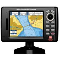
CP190i
Standard Horizon CP190i has award winning C-Map coastal charts built-in which cover USA, Canada, Bahamas, Carribean, Cuba and South America. CP190i details include: all Navaids icons on chart page, depth contours and soundings up to 66Ft, Graphical tide display / icons on chart and Marina icons and the list of services symbols.
-
CP390i
Standard Horizon CP390i has award winning C-Map coastal charts built-in which cover USA, Canada, Bahamas, Carribean, Cuba and South America. CP390i details include: all Navaids icons on chart page, depth contours and soundings up to 66Ft, Graphical tide display / icons on chart and Marina icons and the list of services symbols.

