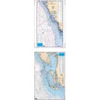
Waterproof Charts 15F Southwest Florida FISH/DIVE
Model: 15F Brand:
15F SOUTHWEST FLORIDA FISH/DIVEComplete offshore coverage from Tampa Bay south to 50 Miles South of Marco Island. Reverse side is coastal coverage from Englewood south to Ft. Myers Beach with complete depths for Charlotte Harbor, Pine Island Sound and Matlacha Pass. A table recompiled in FALL of 1999 contains a total of 209 Plotted and Indexed GPS/LORAN WAYPOINTS for Reefs and Wrecks, Lights and Fishing and Diving Areas. Information from 2 NOAA Charts; 11426 & 11420.25 x 38 « less
Product Specification
-
Universal Product Identifiers
Part Number: 15F
Related Products
-
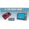
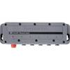
SE200C Sonar engine with 2 Thru Hull Transducers U1-200C-00E 1200c00e
-
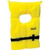
Life Vest Foam Yellow Medium
-
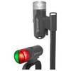
14180-7 Portable LED Navigation Light Kit
-
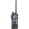
IC-M72 220V Charger Euro with BC-147E 28652
-
MT-403FF AccuSat 406 Cat 1 EPIRB Non-Hazmat Withbracket
-
Marine Navigation Workbook: Piloting and Celestial and Electronic Navigation [Book]
-
100ft 24AWG Cat6a 500mhz Stp Ethernet Bare Copper Network Cable - Blue
-
20110003 SP-36 Second Station Kit W/25' Cable
-
DCH Harness for DC Style Gauge
-
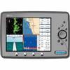
Marine EC11 GPS-Chartplotter/Fish Finder with External Antenna, C-Map Max Card & 10.4" Color Display; NMEA Network Compatible - SI-TEX
-
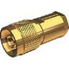
Nm8x-g Male N Connector for RG-8X Cable
-
HS5 SeaTalk hs Network Switch, A80007 c44691