Waterproof Charts 123F Coastal Miami Trolling Chart - FISH/DIVE
Model: 123F Brand:
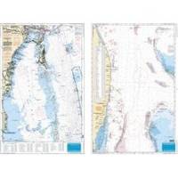
Pierce south to Key Largo and offshore to the West Bahamas, this chart is derived from 6 different Bathymetric charts which show detailed bottom contour thru the deepest water. Highlighted are popular trolling areas with their local names, which provide the structure for the best deep water, fishing. Over 100 GPS coordinates provide targets for trolling fishermen. The reverse side is coverage from North Miami to Elliot Key and has listings for 85 popular wrecks and reefs, many with GPS/Loran Waypoints. A total of 215 numbers!! 25 x 38 « less
Product Specification
-
Universal Product Identifiers
Part Number: 123F
Related Products
-
2827 Multi Channel GMDSS
-
KCA RC107MR Marine CD receiver remote control unit
-
100070500 GHP 10 Marine Autopilot System
-
All-Round Navigation Lights, Anchor Light, Series 25, White
-
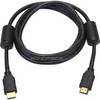
6ft 28AWG High Speed HDMI Cable w/Ferrite cores - Black
-
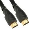
2841 25ft 26AWG CL2 Standard HDMI Cable - Black
-
15ft USB 2.0 A Male to Mini-B 5pin Male 28/24AWG Cable w/ Ferrite Core (Gold Plated)
-
G120 Marine Display 12 Inch E62247 c31585
-
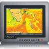
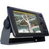
NavNet 3D Color 12.1" LCD Multifunction Display
-
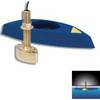
B45-DT-BL 600W Thru-Hull Transducer Lowrance 7-Pin Blue Connector
-
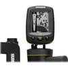
Fishin' Buddy 130 - Fishfinder - portable - included transducer - single-beam
-
2842 Globalfix Pro 406 EPIRB Integral GPS - Category 1