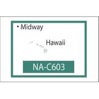
NT+ NA-C603F The Hawaiian Islands
Model: NA-C603F Brand: C-Map
C-MAP has set the standard for electronic charts with five consecutive NMEA awards for Best Electronic Cartography. The spring 2004 C-MAP NT+ release will include marina detail for over 1,000 US marinas in C-MAPs private collection. Now you will be able to see slip detail as well as the locations for onshore facilities. Finding the right chart plotter for you is easy with 17 manufacturers powered by C-MAP. Just look for the NT+ logo. « less
Product Specification
-
Universal Product Identifiers
Part Number: NA-C603.FGTIN: 00686074002272
Related Products
-
395 Chafe Guard Secure Removable Pr
-
NAM022C C-Card US East COAST/BAHAMAS
-
GRH4D HD Ethernet Radar Dome 21" 40381
-
Package(e127 with USA Coastal Chart, 4KW 24 Inch Digital Radome & Radar Cable)
-
2775.91 FBRS 2775 Battery Replacement Service
-
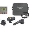
E12120 SmartPilot S1 S1G System Packs, Auto Pilot s1g/st6002 Inboard Ray
-
7ft 24AWG Cat5e 350MHz UTP Bare Copper Ethernet Network Cable - Pink
-
10ft 24AWG Cat5e 350MHz UTP Bare Copper Ethernet Network Cable - Purple
-
500ft 14AWG CL2 Rated 2-Conductor Loud Speaker Cable (for In-Wall Installation)
-
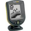
PiranhaMAX 10 - Fishfinder - included transducer
-
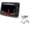
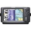
900 Series 997c SI Combo CHO - Marine Chartplotter - 8" color - 800 x 480 - widescreen
-
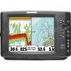
407150-1M 1157CX 10.4" GPS Chartplotter Combo Internat