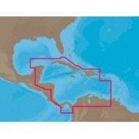
NA-C502 Furuno FP Format Western Caribbean S
Model: NA-C502 Brand: C-Map
NA-M320 => Passamaquoddy Bay to Cape LookoutCoverage includes offshore bathymetric details from Passamaquoddy Bay, ME to Cape Lookout, NC. Coverage extends from the coastline out to the Atlantic Canyons - Hudson, Baltimore, Oceanographer and others. Fishing Contour Charts do not include coastal navigational features and are recommended for offshore fishing only. « less
Product Specification
-
Universal Product Identifiers
Part Numbers: 20172, 31356, CMANAC502FP, NA-C502, NA-C502FURUNOFP, NA-M320-SD, NA-M320SDCARDGTIN: 00686074003835
Related Products
-
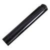
3" Pushrod Extension f/Tiller Pilots
-
C97 Multifunction 9" Display with Sonar - US Coastal Charts T70021 c44326
-
Package(c127 with USA Coastal Chart, 4KW 24 Inch Digital Radome & Radar Cable)
-
Max IN-M202 W67 Maldives to Gulf of Martaban-MAX
-
Max EN-M076 W21 Belgium Inland-River Rhein-MAX
-
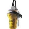
EPIRB Manual Release Cat II, No GPS EP50 Manual c30590
-
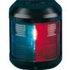
Navigation Light for Bulk Head Mounting , Stern
-
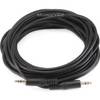
646 25ft 3.5mm Stereo Plug/Plug M/M Cable - Black
-
Marine Products Plug Wire Set 9-28048
-
Marine Products Plug Wire Set 9-28038
-
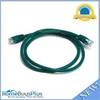
3ft 24AWG Cat6 550mhz UTP Ethernet Bare Copper Network Cable - Green
-
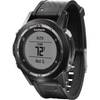
fenix - Hiking, cycle, running GPS receiver - Monochrome - 70 x 70