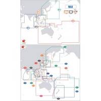
Max Chart for New Zealand in SD Format, M-AU-M001
Model: M-AU-M001 Brand: C-Map
Coverage of New Zealand and Pacific Island's cover's Campbell Island - Cooke Strait - Lake Taupo - New Plymouth - Whangaroa Harbour - West Samoa - Phoenix Island - Papeete,French Polynesia and Cook Island's
Product Specification
-
Universal Product Identifiers
Part Number: AU-M001
Related Products
-
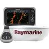
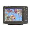
408470-1 581i Di Combo Fishfinder
-
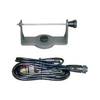
GPS receiver marine swivel mounting bracket
-
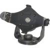
GPS receiver mount bracket
-
e7D 7" Multifunction Display with Sonar, Internal GPS, USA Silver Charts, RD418D Radar & No Transducer T70103 c44594
-
25ft 24AWG Cat6 550mhz UTP Ethernet Bare Copper Network Cable - Purple
-
14ft 24AWG Cat6 550mhz UTP Ethernet Bare Copper Network Cable - Gray
-
3ft 28AWG High Speed HDMI Cable w/Ferrite cores - Green
-
B260-BL 1kW Thru-Hull Transducer Lowrance 7-Pin Blue Connector
-
000-167-964 NMEA2000 Cable Light 6M D-End
-
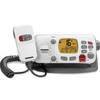
VHF255Sw White VHF Radio
-
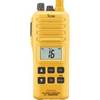
GM1600 VHF Radio GMDSS W/DATED/SEALED Lithium Battery
-
GlobalMap 9200C - Marine GPS receiver - 10.4" color - 600 x 800