Inc MSD/PREM-N6 Map, HotMaps Premium North
Model: PREM-N6 Brand: Navionics
HotMaps Premium 2D Lake Maps - with 1000 of Navionics exclusive high-definition lake maps to 1' contours plus, over 15,000 additional lakes with underwater structure, improved accuracy, major roads, county lines and more. FREE Fish'N Chip high-definition fishing detail for US Great Lakes waters now included in HotMaps Premium Canada, North and East regions. North: Covers IA, MI, MN, WI, ND, SD « less
Product Specification
-
Universal Product Identifiers
Part Numbers: 10205396, 11094356, 37625, MSD-PREM-N6, PREM-N6, SD/PREM-N6GTIN: '82124541594, 00821245415943
Related Products
-
CANNON 408560-1 21" Radar 4KW 24 rpm
-
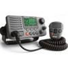
E43032 - VHF, Ray218, w/Hailer, Opt. Remote
-
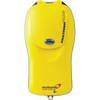
Pains Wessex Fastfind Plus GPS Personal Locator Beacons
-
AA010080 - 2m Ethernet (rj45) Cable for NSX Systems
-
10ft 28AWG High Speed HDMI Cable w/Ferrite cores - Black
-
LD 5969 Mini DisplayPort to HDMI Video Adapter Cable (White)
-
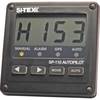
SP110VF-1 Autopilot with Virtual Feedback and No Drive Unit - A
-
Marine Remote Control Y Connector - MS-WR100Y - MS-WR100Y
-
GPSMAP 4212 - Marine Chartplotter - 12.1" color - 1024 x 768
-
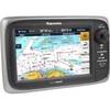
GPSMAP 4210 - Marine Chartplotter - 10.4" color - 800 x 600
-
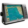
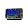
GPSMAP 720 - Marine Chartplotter - 7" color - 800 x 480 - widescreen
-
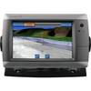
T70000 - E7, 7 GPS/MFD w/ US Coastal Charts