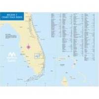
ChartKit Book w/Companion CD - Florida East Coast & Map
Model: Brand: Maptech
Mary's Entrance to Dry Tortugas, inside and outside, including St. Johns River, St. Lucie River and Lake Okeechobee. Full-color charts, waypoints, courses and distances, chart datums for GPS, Yeoman points, and aerial photos. 22 X 17, 78 chart pages. Product Overview Used by generations of boaters, ChartKits are full-color reproductions of U.S. government and private charts spiral bound into popular cruising regions. The convenient-sized books are large enough to allow for manual plotting, yet small enough to sit on your nav-station or lap GPS Ready New features make ChartKits easy to use with your GPS. Most charts include one-minute lat./long. Grids to make vessel positioning a breeze, and major navigation aids are identified with named GPS waypoints. Small and Large Scale Charts ChartKits include small-scale, wide « less
Product Specification
-
Universal Product Identifiers
Part Number: PAPREGION07
Related Products
-
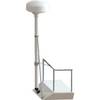
8' Radar Mast Pole Kit with One Stand-Off Kit RM8KT1
-
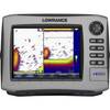
HDS-8 Base Mltfnc Fishfinder/Chartplotter w/ 83/200 K 34255
-
6850 Vision Series Modular System Mounting Plate
-
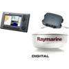
Package(C90W, DSM300G Sounder, 4KW 24 Inch Digital Radome & Radar Cable)
-
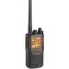
Mrhh 425li VP Marine VHF Transceiver with All-Terrain Radio
-
BlueChart g2 Vision - Italy, Adriatic Sea - Maps
-
Hydrographical Surveying. a Description of the Means and Methods Employed in Constructing Marine Charts. [Book]
-
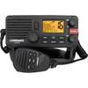
000-10788-001 Link-5 DSC VHF Radio
-
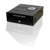
Marinenav Leviathan Marine Navigation PC Computer LEV-017-Intel
-
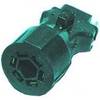
TC42914 Trailer Connector
-
Cat6a Ethernet Cable | 7ft | Gray | Network | 10 Gigabit
-
Submersible / Floating Handheld 6/5/2.5/1 W VHF Radio