AN-M203 C-Card Format Yellow Sea & Malaya
Model: AN-M203 Brand: C-Map
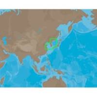
Coverage of Yellow Sea to Malaya cover's Jiatiao Port - Xiangshan Harbour - Zhoushan City - Qantangjiang River Mouth - Zhoushan Archipelago - Yangtze River - Doulong Harbour Entrance - She-Yang River Mouth - Guan River Mouth - Lianyungang Port - Lanshan Harbour - Rizao Harbour - Quingao Port - Aoshan Port - Nudao Port - Entrance to Dingzi River - Jinghai Bay - Shidao Bay - Rongcheng Bay - Weihat Bay - Yantai Port - Penglari Port - Sanshan Head - Xiaoqinghe Mouth - Dongying Port - Tao Er River Entrance - Tianjing Port - Quinhuangdao Port - Pulanddian Bay - Dalian Bay - Changshan Archipelago - Shicheng Island - Dadong Port - Nampo Hang - Daesan Hang - Gyema Hang - Sinyang Port - T Aepaek - Zaliv Pos Yeta - Zaliv Nakhodka - Wakamatsu Island - Omura Wan - Matsuura Ko - Iki Island - Kita-kyushi - Seto Naikai - Komatsu and Toyama. « less
Product Specification
-
Universal Product Identifiers
Part Number: AN-M203C-CARDGTIN: 00686074013223
Related Products
-
Remote Mount Autopilot Drives for Cable Steering 29010009
-
10' Network Cable for Scp Remote Panel 809-0938
-
T70106 e7D 7" Multifunction Display w/Sonar, Internal G
-
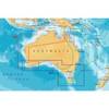
Australia South Platinum Marine Charts on SD Card MSD/61P+
-
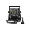
ICE 35 - Fishfinder - portable - included transducer : XI 9 19 - dual-beam
-
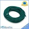
75ft 24AWG Cat6 550mhz UTP Ethernet Bare Copper Network Cable - Green
-
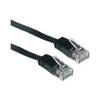
Network cable - CAT 6 - RJ-45 - M - Unshielded twisted pair (UTP) 35 ft - Black
-
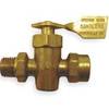
6828 Marine Ground Plug Valve, 1/4 In, Brass
-
PRO/1000 MT Server Adapter Network adapter - PCI-X hot-plug 133 MHz
-
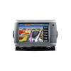
GPSMAP 740 - Marine Chartplotter - 7" color - 800 x 480 - widescreen
-
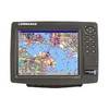
GlobalMap 9200C - Marine GPS receiver - 10.4" color - 600 x 800
-
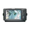
900 Series 955c NVB - Marine Chartplotter - 8" color - 800 x 480 - widescreen