8265; Map-Lake Camanche/Folsom Lake
Model: 8265 Brand: Fish-n-Map
FISH-N-MAP UNDERWATER TOPOGRAPHY MAPSMade of waterproof, tear resistant plastic. Features include: underwater depth contours, fish locations, latitude and longitude for GPS, multiple freshwater lakes on one map, boat ramps, recreational facilities and much more.
Product Specification
-
Universal Product Identifiers
Part Numbers: 235310, 8265GTIN: 00761428082657
Related Products
-
Package(C140W, DSM300G Sounder, 4KW 24 Inch Digital Radome & Radar Cable)
-
Paper Chart Kit Book Region 04 Ches Bay and Del Bay
-
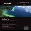
010-C0732-20 Bluechart G2 HXUS031RSouthwest Caribbean microSD
-
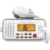
M412 11 Fixed-Mount 25W VHF Marine Radio with Class D DSC (b
-
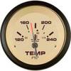
59706P Sahara Instrument- Water Temp Gauge 120-240
-
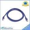
5ft 24AWG Cat5e 350MHz UTP Bare Copper Ethernet Network Cable - Purple
-
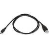
3ft USB A to Mini-B 5pin 28/28AWG Cable
-
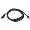
6ft USB A to Mini-B 5pin 28/28AWG Cable
-
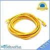
14ft 24AWG Cat6 550mhz UTP Ethernet Bare Copper Network Cable - Yellow
-
CA50B-6B 50kHz Rbr Coat F/ 1kW Units
-
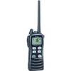
IC-M72 VHF Two-way radio
-
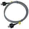
A62245 Sea Talk High Speed Dual End Weatherproof