4119 Channel Isls/Venture - Santa
Model: 4119 Brand: Fish-n-Map
FISH-N-MAP UNDERWATER TOPOGRAPHY MAPSMade of waterproof, tear resistant plastic. Features include: underwater depth contours, fish locations, latitude and longitude for GPS, multiple freshwater lakes on one map, boat ramps, recreational facilities and much more.
Product Specification
-
Universal Product Identifiers
Part Numbers: 4119, 516252GTIN: 00761428041197
Related Products
-
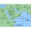
MapSource BlueChart - Red Sea - Maps
-
MSD/673P+ Platinum Plus Maine on SD/Micro SD
-
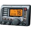
M504 Remote Mic Version - Black
-
MA7500 Compact Box Marine Speaker, 100 Watts (Pair) c13809
-
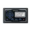
KCA RC107MR Marine CD receiver remote control unit
-
Spare Keeper F/Fig. 574 & 956
-
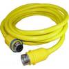
30 Amp 25' Cord Set - Yellow - 125V
-
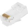
GC7266 Solid Cat6 RJ45 Plug (100-Pack)
-
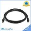
589 6ft S-Video Svideo M/F Extension Cable
-
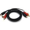
2187 3ft S-Video & 3ft RCA Audio Cable - Molded
-
998c Si Combo Cho Display Only #407760-1CHO
-
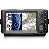
Colormax 6 LCD GPS/WAAS Charting System