3205 Lake Mead
Model: 3205 Brand: Fish-n-Map
FISH-N-MAP UNDERWATER TOPOGRAPHY MAPSMade of waterproof, tear resistant plastic. Features include: underwater depth contours, fish locations, latitude and longitude for GPS, multiple freshwater lakes on one map, boat ramps, recreational facilities and much more.
Product Specification
-
Universal Product Identifiers
Part Numbers: 032058, 234610, 3205GTIN: 00761428032058
Related Products
-
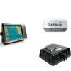
Radar 4012 Package with GMR24HD 4KW Radome & GSD22 Sounder
-
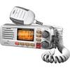
Solara D UM380 Fixed Mount Class D VHF Marine Radio
-
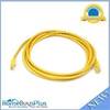
10ft 24AWG Cat5e 350MHz UTP Bare Copper Ethernet Network Cable - Yellow
-
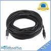
50ft 3.5mm Stereo Plug/Plug M/M Cable - Black
-
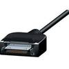
CPA-120 Cell Phone to Marine Antenna Adapter Cable
-
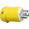
26CM11 Male Plug for 30 AMP/125 Volt
-
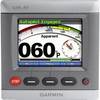
33677 GHC 10 Helm Control Display for Ghp-10
-
TS-1BL Temp Sensor Blue Connector wts1bl
-
6 Inch Power Mount for Northstar & Simrad Open Array with Light Option (Aft Leaning) PMA-6NO-8L ( PMA-57-M1 + ADA-R1)
-
lian i3 System Dish Network w/Multi-Satellite Interface & Dish
-
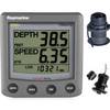
T22050-P ST60 Plus Tridata w/Removeable Thru Hulls
-
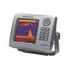
HDS-5x - Marine Chartplotter - 5" color - 480 x 480