3204 Lake Havasu
Model: 3204 Brand: Fish-n-Map
FISH-N-MAP UNDERWATER TOPOGRAPHY MAPSMade of waterproof, tear resistant plastic. Features include: underwater depth contours, fish locations, latitude and longitude for GPS, multiple freshwater lakes on one map, boat ramps, recreational facilities and much more.
Product Specification
-
Universal Product Identifiers
Part Numbers: 234560, 3204GTIN: 00761428032041
Related Products
-
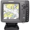
700 Series 786ci - Marine Chartplotter - 5" color - 640 x 640
-
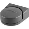
010-11417-00 - Heading Sensor (fluxgate Compass)
-
Max AN-M203 W51 Yellow Sea to Malaya-MAX
-
CF/638P+ Platinum Plus Puget Sound on CF
-
Howe Sound Chart
-
Max EN-M604 W34 Russian Lakes-MAX
-
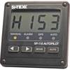
SP110 System w/ rfb & Remote Mech Drive - Sail 12"
-
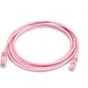
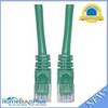
7ft 24AWG Cat5e 350MHz UTP Bare Copper Ethernet Network Cable - Pink
-
70 Allround Green Nav Light
-
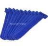
Hook & Loop Fastening Cable Ties 6inch, 10pcs/Pack - Blue
-
Cat6a Ethernet Cable | 50ft | Green | Network | 10 Gigabit
-
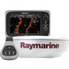
T70103 e7D 7" Multifunction Display w/Sonar, Internal G