010-C1020-10 Bluechart G2 HPC024RAustralia & New Zealand Data
Model: 010-C1020-10 Brand: Garmin
See your surroundings more clearly with BlueChart g2 data. With BlueChart g2, you'll get detailed marine cartography that provides convenient viewing of nautical content. BlueChart g2 allows you to see your vessel's precise, on-chart position in relation to naviads, coastal features, anchorages, obstructions, waterways, restricted areas and more. You will also have access to detailed mapping capabilities that include Safety Shading, Fishing Charts, smooth data transition between zoom levels, harmonious transition across chart borders, and reduction of chart discontinuities. Covers: Detailed coverage of the entire continent of Australia and New Zealand. Coverage includes Brisbane, Sydney, and the Great Barrier Reef along the Eastern coast. Coverage continues along the Southern coast including Melbourne, Adelaide, and Tasmania through the Great Australian Bight. Coverage also includes Perth, Geraldton, Darwin, and the Gulf of Carpentaria on the Western and Northern coasts. « less
Product Specification
-
Universal Product Identifiers
Part Numbers: 010-C1020-10, 10807220, 35813GTIN: 00753759095482
Related Products
-
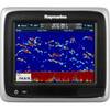
A67 Mfd Touchscreen W/built-in Digital Sonar - Navioni Map
-
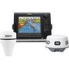
000-10344-002 - NSE8 Navigation Pack w/ 3G Radar
-
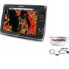
Package(e125 with USA Coastal Chart, 4KW 24 Inch Digital Radome & Radar Cable)
-
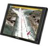
Nauticomp Signature 12 Inch Sunlight Marine Display, Flush Mount
-
AP2801VRF Autopilot AP28, ac12, RC42 No Drive Unit
-
Low Profile Wall Mount Bracket for LCD LED Plasma (Max 165Lbs, 30~63inch) - Black
-
50ft 24AWG Cat6 550mhz UTP Ethernet Bare Copper Network Cable - Green
-
170 Series LED Navigation Lights White Stern, 12V
-
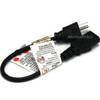
1ft 18AWG Power Cord Cable w/ 3 Conductor PC Power Connector Socket (C13/5-15P) - Black
-
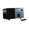
Pandora Featured Network audio player
-
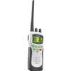
ATLANTIS 250-G VHF Two-way radio
-
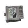
FishElite 480 - Marine Chartplotter - 5" monochrome - 480 x 480