010-C0774-20 Bluechart G2 HXEU016RMediterranean Southeast
Model: 010-C0774-20 Brand: Garmin
See your surroundings more clearly with BlueChart g2 data. With BlueChart g2, you'll get detailed marine cartography that provides convenient viewing of nautical content. BlueChart g2 allows you to see your vessel's precise, on-chart position in relation to naviads, coastal features, anchorages, obstructions, waterways, restricted areas and more. You will also have access to detailed mapping capabilities that include Safety Shading, Fishing Charts, smooth data transition between zoom levels, harmonious transition across chart borders, and reduction of chart discontinuities. Covers: From Gulluk, Turkey east to include Cyprus, Syria, Lebanon and Israel, then west to Misratah, Libya. « less
Product Specification
-
Universal Product Identifiers
Part Numbers: 010-C0774-20, 10805083, 35622GTIN: 00753759091729
Related Products
-
S1000 Wireless Autopilot System
-
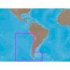
SA-C002 Furuno FP Format - Chile
-
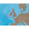
EW-C207 C-Card Format Bristol Channel & Irish Sea
-
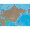
ME-C202 C-Card Format - Red Sea - Arabian Sea
-
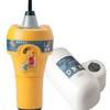
700S-00767 SafeSea E100G GPS EPIRB Category 1 - Auto Rele
-
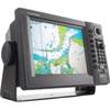
GP1920C-NT VX2 Chartplotter C-Map NT
-
70M Double 360 Degree White Navigation Light
-
100ft 24AWG Cat6a 500mhz Stp Ethernet Bare Copper Network Cable - Blue
-
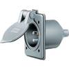
Wiring Device-Kellems HBL61CM64 Inlet,marine,15 A 3d235
-
Marine Products Plug, Lower Unit Drain 9-72655
-
Marine Products Plug Wire Set 9-28054
-
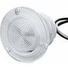
Flush Mount Utility Light 401515-1 Screw Mount