010-C0762-10 Bluechart G2 HEU003RGreat Britain Northeast
Model: 010-C0762-10 Brand: Garmin
Covers from the Isle of Lewis, Scotland to Bridlington Harbour, England, including Gairloch, the Shetland Islands, Edinburgh, and North Sea offshore charts. Also includes the Caledonian Canal, Loch Linnhe, and Loch Ness. See your surroundings more clearly with BlueChart g2 data. With BlueChart g2, you'll get detailed marine cartography that provides convenient viewing of nautical content. BlueChart g2 allows you to see your vessel's precise, on-chart position in relation to naviads, coastal features, anchorages, obstructions, waterways, restricted areas and more. You will also have access to detailed mapping capabilities that include Safety Shading , Fishing Charts , smooth data transition between zoom levels, harmonious transition across chart borders, and reduction of chart discontinuities. « less
Product Specification
-
Universal Product Identifiers
Part Numbers: 010-C0762-10, 10804805, 35597GTIN: 00753759091477
Related Products
-
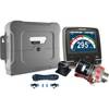
p70R & X-10 Corepack & Type 1 Pumpset Autopilot Package for Hydraulic Steered Powerboats T70079 c44130
-
Package(C120W, RA1072HD 4KW 72 Inch HD Digital Open Array Radar & 15m Radar Cable)
-
000-167-636 - 15m Radar Sensor Cable for NavNet 3D
-
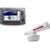
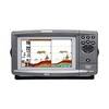
Fishfinder echo 100 - Fishfinder - included transducer
-
Papr02 Region 2 Paper Chart Kit
-
AP2404 Autopilot System 32210
-
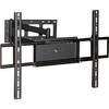
Adjustable Tilting/Swiveling Wall Mount Bracket for LCD LED
-
Wiring Device-Kellems HBL27CM13 20A 125/250V L14-30R Yellow/White TWIST-LOCK[REG] Chem-Marine Connector
-
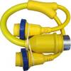
LTD A3030Y50H 50 Amp to 30 Amp Y-Adapter
-
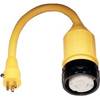
115A Adapter 50A 125V Locking
-
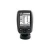
900 Series 931c DF - Fishfinder - included transducer : XHS-9-DB-74-T - dual-beam
-
M24 Handheld VHF Radio cw-41172