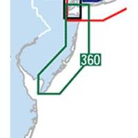
Waterproof Chart Kit - New Jersey Coast #WPB0360-02
Model: WPB0360-02 Brand: Maptech
Waterproof Charts w/ Companion CD WPB0360 360: New Jersey Coast New York Harbor to Cape May, NJ. 24 chart pages. Features GPS waypoints, Lat. /Long. grids, pre-plotted courses, ramps, and 425 marine facilities. 12 x 17, scales 1:1,263,000 to 1:15,000. Product Overview These easy-to-use, compact chart books are ideal for Day-Sailors, Fishing Boats, and Trailer Boats. They measure 12 x 17 (24 x 17 when open) and are made of waterproof, tear-resistant synthetic paper that will withstand the elements. GPS Ready New features make Waterproof Chartbooks easy to use with your GPS. Most charts include one-minute lat./long. grids to make vessel positioning a breeze, and major navigation aids are identified with named GPS waypoints. Small and Large-Scale Charts Waterproof Chartbooks include small-scale, wide area charts as well as large-scale, detailed charts of harbors and approaches. The Chart Page Index « less
Product Specification
-
Universal Product Identifiers
Part Number: WPB0360-02
Related Products
-
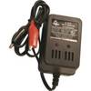
V-410 Automatic Ice Fishing Sonar Digital Charger
-
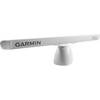
GMR 606 XHD Radar 6ft6kw Pedestal Array
-
2827 Multi Channel GMDSS
-
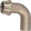
0063010PLB Pipe/Hose Adapter 2-1/2in 90De
-
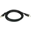
6ft USB 2.0 A Male to B Male 28/24AWG Cable - (Gold Plated)
-
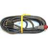
70M Double Port Nav Light
-
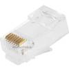
GC7266 Solid Cat6 RJ45 Plug (100-Pack)
-
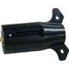
TC43944 Trailer Side Heavy Duty Connector
-
120-37 Yamaha (Late model) engine I/F
-
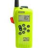
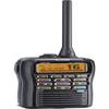
M92d Hand Held VHF
-
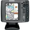
700 Series 757c Combo CHO - Marine Chartplotter - 5" color - 240 x 320
-
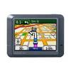
n�vi 275T - Automotive GPS receiver - 3.5" color - 320 x 240