Waterproof Chart Kit - Long Island Sound #WPB0325-03
Model: WPB0325-03 Brand: Maptech
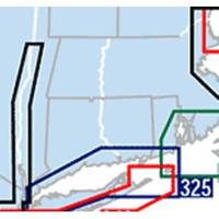
Waterproof Charts w/ Companion CD WPB0325 325: Long Island Sound NEW LAYOUT. 20 MORE PAGES. The entire Sound to Block Island and Point Judith. 10 overview charts and 50-plus harbor insets. 48 pages, 200 GPS waypoints, pre-plotted courses, ramps and 500 marinas. 12 x 17, scales 1:89,000 with insets. Product Overview These easy-to-use, compact chart books are ideal for Day-Sailors, Fishing Boats, and Trailer Boats. They measure 12 x 17 (24 x 17 when open) and are made of waterproof, tear-resistant synthetic paper that will withstand the elements. GPS Ready New features make Waterproof Chartbooks easy to use with your GPS. Most charts include one-minute lat./long. grids to make vessel positioning a breeze, and major navigation aids are identified with named GPS waypoints. Small and Large-Scale Charts Waterproof Chartbooks include small-scale, wide area charts as well as large-scale « less
Product Specification
-
Universal Product Identifiers
Part Number: WPB0325-03
Related Products
-
Commander P2 Mono Display, SSRC1 Rate Gyro Compass & Linear Feedback 10110032
-
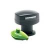
SmartCast AS RSL - Wireless sonar link
-
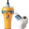
700S-00767 SafeSea E100G GPS EPIRB Category 1 - Auto Rele
-
Raptor - BC4S100 - 4-Gauge Battery Cable - Silver 100' Spool
-
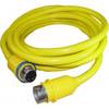
30 Amp 75' Cord Set - Yellow - 125V
-
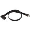
19inch Esatap to SATA 22pin Cable - Black
-
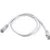
Cat6a Ethernet Cable | 5ft | White | Network | 10 Gigabit
-
Marine Products Plug Wire Set 9-28023
-
3ft 24AWG Cat5e 350MHz UTP Ethernet Bare Copper Network 133
-
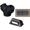
FCF000119A Teak Fresh Air Vent Kit for 12,000 / 16,000 BTU Units
-
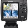
408950-1 Fishfinder 598ci HD Si Combo
-
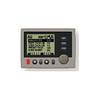
GP32 4.5 Inch Monochrome LCD WAAS/GPS Receiver & Navigator