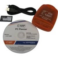
PCPLANNER2 PC Planner - NT+/MAX 2MB
Model: PCPLANNER2 Brand: C-Map
PC-Planner Turn your PC into a virtual chart plotter, while using your actual C-Map electronic chart in the process. Now use PC-Planner to access all of the functions normally found in your chart plotter. With PC-Planner you can view actual chart data, create and change routes, accurately measure distances, and add and edit waypoints and marks. Easily transfer your trip plans to a C-Map Memory Card, plug it into your chart plotter, and load your routes on the spot. This means can get on your boat; turn on your chart plotter; load your trip data; turn on your engine and you're off. Use the same C-Map chart you use in your chart plotter and your PC will mirror the detail you see onboard your boat. Access all of the planning data that C-Map charts offer, including: [+] Coastal Navigation Data [+] Depth Contour Data [+] Spot Soundings [+] Port Information [+] Marina Information [+] Tide Data> « less
Product Specification
-
Universal Product Identifiers
Part Numbers: 15847, PCPLANNER2GTIN: 000000158473, 158473
Related Products
-
IR2 4D 4KW 25" Dome Radar R-0003
-
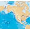
MSD/1XG Gold All USA & Northern Bahamas - SD/MicroSD
-
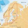
44XG/SD Baltic Sea Finland, Sweden, Norway South
-
Bass Assassin Lures SSA25391 Sea Shad 10ct Chart Wooddk Soft Plastic
-
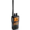
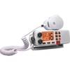
Marine Radio Two Way VHF UN-MHS75
-
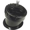
49450200Es InHull Transducer
-
Cat6a Ethernet Cable | 50ft | Orange | Network | 10 Gigabit
-
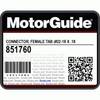
CONNECTOR, Female Tab 22-18 x .187 25 Per Package
-
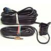
PDRT-WBL Trolling Mnt w/Remote Temp Blue Connector
-
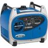
EF2400iHC - 2400 watts/16.7 Amps Portable Inverter Generator - EF2400iHC
-
Cat6a Ethernet Cable | 1ft | Yellow | Network | 10 Gigabit
-
Regatta 1 25W VHF Radio - White CW32225