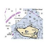
NOAA Rosario Strait-Southern Part Chart
Dept. of Commerce - 18429; NOAA nautical charts Encompasses the Strait of Georgia - U.S. Note: Ensure that your charts are kept current to reflect changes to that area
Product Specification
-
Universal Product Identifiers
Part Number: 18429
Related Products
-
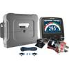
p70R & X-10 Corepack & Type 1 Pumpset Autopilot Package for Hydraulic Steered Powerboats T70079 c44130
-
AP5014 Autopilot with AP50, J50, Rudder Feedback RF300, HLD2000LD (Long Stroke, Dual Drive)
-
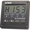
SP110 Autopilot
-
Package(e127 with aus, NZ, S. America, Asia Chart, 4KW 18 Inch Digital Radome & Radar Cable)
-
Description of a New Improved Chart of the Islands of Shetland to Which Are Annexed Three Copper Plates and a Special Chart of Valey-Sound, Published from the Royal Danish Marine Archives for Draughts and Charts by P. de Lowenorn, 1787. [Book]
-
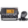
M504 Black VHF Radio with Hailer M504A 61
-
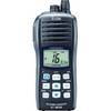
M3401 Floating Hand Held VHF Radio
-
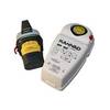
Safelink GPS EPIRB with Manual Bracket 10-K1202311
-
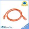
3ft 24AWG Cat5e 350MHz UTP Bare Copper Ethernet Network Cable - Orange
-
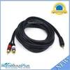
10ft Premium 3.5mm Stereo Male to 2rca Male 22AWG Cable 5599
-
210140 #6 Blue Vinyl Butt Connector (25)
-
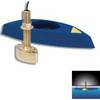
B45-DT-BL 600W Thru-Hull Transducer Lowrance 7-Pin Blue Connector
