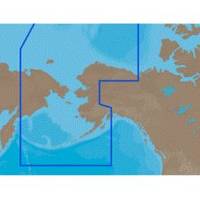
NA-C804 Furuno FP Format Northern Alaska
Model: NA-C804 Brand: C-Map
With are Electronic Sharts C-Maps we have: Olympia, Washington to Port Mcneill, British Columbia. Nannose to Victoria to Cape Scott Texada Island to Caamano Sound Cape Caution to Portland Canal Banks Island, British Columbia to Sumner Strait, Alaska Dixon Entrance to Icy Bay Gulf of Alaska Western Alaska NA-C804 Western Alaska NT+ Cartography NT+ electronic charts feature much wider coverage areas at substantially lower prices. « less
Product Specification
-
Universal Product Identifiers
Part Numbers: 20186, NA-C804FURUNOFP
Related Products
-
2714 Pathfinder Sart Survival Craft Radar Transponder
-
WPCTR1; Navigation Training Series
-
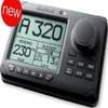
AP2803VRF Autopilot AP28,AC12,RC42,RPU80
-
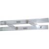
061 15 Parallel Rules
-
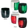
Marine Naviled Pro Starboard Navigation Light 12039749
-
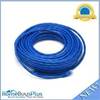
75ft 24AWG Cat6 550mhz UTP Ethernet Bare Copper Network Cable - Blue
-
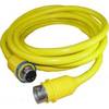
30 Amp 35' Cord Set - Yellow - 125V
-
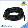
35ft HDMI Male to DVI D Male Premium Cable 24AWG 24 Gauge 1080p
-
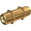
PL-258-L-G Bulkhead Barrell Connector for PL-259
-
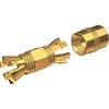
PL-258-CP-G Shakespeare Gold Splice Connector for RG-8X or RG-58/AU Co
-
DSM30 Digital Network Sounder Module E63074
-
3ft 24AWG Cat6 550mhz UTP Ethernet Bare Copper Network Cable - Gray