NA-C702 Furuno FP Format Nanoose - Victoria
Model: NA-C702 Brand: C-Map
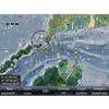
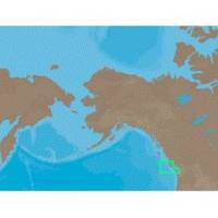
With are Electronic Sharts C-Maps we have: Olympia, Washington to Port Mcneill, British Columbia. Nannose to Victoria to Cape Scott Texada Island to Caamano Sound Cape Caution to Portland Canal Banks Island, British Columbia to Sumner Strait, Alaska Dixon Entrance to Icy Bay Gulf of Alaska Western Alaska NA-C702 Nanoose To Victoria To Cape Scott NT+ Cartography NT+ electronic charts feature much wider coverage areas at substantially lower prices. « less
Product Specification
-
Universal Product Identifiers
Part Numbers: 20180, NA-C702, NA-C702FURUNOFP
Related Products
-
e7D 7" Multifunction Display with Sonar, Internal GPS, USA Silver Charts, RD418D Radar & No Transducer T70103 c44594
-
000-10040-001 - Nautic Insight HD West Coast Charts, SD
-
010-00705-30 - GHP 12 Autopilot Corepack
-
D10DX06T D10DX.06T Depth Sounder
-
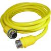
30 Amp 35' Cord Set - Yellow - 125V
-
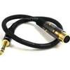
1.5ft Premier Series XLR Female to 1/4inch TRS Male 16AWG
-
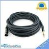
50ft Premier Series XLR Male to 1/4inch TRS Male 16AWG Cable (Gold Plated)
-
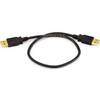
1.5ft USB 2.0 A Male to A Male 28/24AWG Cable (Gold Plated)
-
3M Stripped End Spur Cable for SeaTalk NG
-
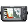
900 Series 957c Combo NVB CHO - Marine Chartplotter - 8" color - 800 x 480 - widescreen
-
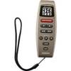
GPS receiver remote control - Radio
-
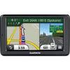
n�vi 2555LT - Automotive GPS receiver - 5" color - 480 x 272 - widescreen