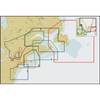
Inc MSD/PREM-N6 Map, HotMaps Premium North
Model: PREM-N6 Brand: Navionics
HotMaps Premium 2D Lake Maps - with 1000 of Navionics exclusive high-definition lake maps to 1' contours plus, over 15,000 additional lakes with underwater structure, improved accuracy, major roads, county lines and more. FREE Fish'N Chip high-definition fishing detail for US Great Lakes waters now included in HotMaps Premium Canada, North and East regions. North: Covers IA, MI, MN, WI, ND, SD « less
Product Specification
-
Universal Product Identifiers
Part Numbers: 10205396, 11094356, 37625, MSD-PREM-N6, PREM-N6, SD/PREM-N6GTIN: '82124541594, 00821245415943
Related Products
-
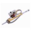
Pump LA17-12 12V Type 2 Linear Drive Unit
-
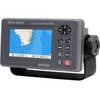
GPS 95CPI GPS Plotter with Internal Antenna c31313
-
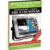
DVD - Raymarine E Series E80 E120 Sonar, N7801DVD
-
CH250BB/88/325 88 kHz Black Box Searchlight Sonar System. Includes 250mm Travel Hoist and Operates at 24 & 32VDC
-
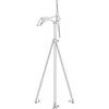
LMB-A3 Self Leveling Radar Mount-LMB-A3
-
NT Cape COD/LI/HUD River NAC302
-
DF1000D Digital Depth Finder
-
Marine Navigation and Safety of Sea Transportation [Book]
-
B260-HB 1kW Thru-Hull Transducer Humminbird #9 Connector
-
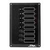
Accy-IX Breaker Panel with Lights
-
Air Marine Tower Hardware Kit
-
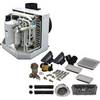
FCF12000 Kit with AC, Seawater & Ducting - 115V FCFK020A