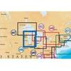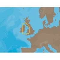
EW-C209 C-Card Format - Irish Sea
Model: EW-C209 Brand: C-Map
Irish Sea: U.K. coverage from Glasgow to Portishead. Ireland coverage from Waterford to Londonderry.
Product Specification
-
Universal Product Identifiers
Part Number: EW-C209C-CARD
Related Products
-
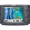
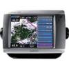
Part #407990-1 | 1198c Si Combo
-
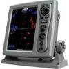
T-921 Radar with 2KW 18" Radome
-
MSD/646P+ Platinum Plus Lake Michigan on SD/MicroSD
-
The Nautical Chart [Book]
-
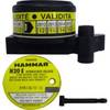
MT-403FFSVC Hydrostatic Release for MT-403FF & MT-403FG
-
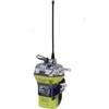
2848 Globalfix iPro Cat II EPIRB with GPS (Manual Activation)
-
5500 Series LED All Around Navigation Lights 60" Straight Pole
-
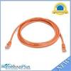
7ft 24AWG Cat5e 350MHz UTP Bare Copper Ethernet Network Cable - Orange
-
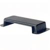
2710 Cover Connector Dual Bus 2702
-
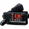
Eclipse DSC+ Fixed Mount VHF, Eclipse DSC 25W VHF Fixed Black
-
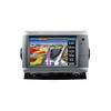
GPSMAP 5008 - Marine GPS receiver - 8.4" color - 640 x 480
-
GPSMAP 740 - Marine Chartplotter - 7" color - 800 x 480 - widescreen