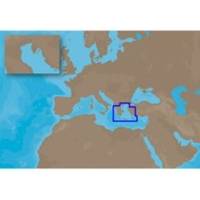
EM-C104 C-Card Format Aegean Sea
Model: EM-C104 Brand: C-Map
Aegean Sea: Greece (including Crete and the Sea of Crete islands). Turkey coverage from Olympos to the entrance of the Sea of Marmara.
Product Specification
-
Universal Product Identifiers
Part Number: EM-C104C-CARD
Related Products
-
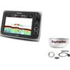
Package(e97 with USA Coastal Chart, 4KW 18 Inch Digital Radome & Radar Cable)
-
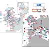
Max EW-M019 L75 English Channel Western-MAX
-
Hydrographical Surveying. a Description of the Means and Methods Employed in Constructing Marine Charts. [Book]
-
59706P Sahara Instrument- Water Temp Gauge 120-240
-
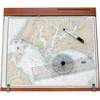
122 Marine Navigation ChartKit Plotter
-
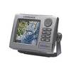
HDS-5m - Marine Chartplotter - 5" color - 480 x 480
-
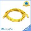
14ft 24AWG Cat5e 350MHz UTP Bare Copper Ethernet Network Cable - Yellow
-
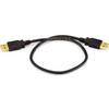
1.5ft USB 2.0 A Male to A Male 28/24AWG Cable (Gold Plated)
-
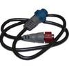
127-05 NAC-FRD2FBL Fem. Red to Fem
-
Accy-IX Breaker Panel with Lights
-
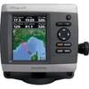
GPSMAP 421 - Marine Chartplotter - 4" color - 240 x 320
-
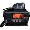
25W Fixed Mount VHF Second Sta