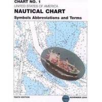
Chart No. 1 Nautical Chart Symbols Abbreviations and Terms: Spiral-Bound [Book]
Chart No. 1 contains a description of the symbols, abbreviations and terms that appear on nautical charts produced by the National Imagery and Mapping Agency, the National Ocean Service and the International Hydrographic Organization.
Product Specification
-
Authors: Griffes, NIMAFormat: bookPublication Date: January 1, 2000
-
Universal Product Identifiers
ISBN: 1577852761GTIN: 09781577852766
Related Products
-
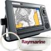
T62289 - C90W/RD418D/10M Cable System Pack
-
Package(c127 with aus, NZ, S. America, Asia Chart, 4KW 18 Inch Digital Radome & Radar Cable)
-
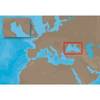
EM-C102 C-Card Format - Black Sea & Marmara
-
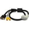
010-11091-00 Marine Audio/Video Cable, Right Angle
-
MaxSea Time Zero Explorer Marine Navigational Software with NavNet 3D Interface
-
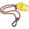
Buztronics, Inc. 1043420 Light-Saver Marine Distress LED Strobe Light
-
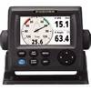
RD33 4. 3 in. Color LCD Navigational Data Organizer
-
TimeZero Odyssey Navigation Software
-
898CSI Combo w/ External Antenna 36982
-
3878-3 Double-Ended Thru-Hull Connector
-
Marine Products Plug Wire Set 9-28055
-
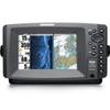
Matrix 97 Sonar - Fishfinder - included transducer : XNT-9-20-T - dual-beam