BlueChart g2 - The Nordics - Maps
Model: Brand: Garmin
BlueChart g2 features crisp labeling and an overall smoother presentation on your chartplotter display. In addition to the basic charts, tidal stations, currents, depth contours, IALA symbols and included fishing charts, BlueChart g2 offers improved transitioning between zoom levels and more seamless continuity across chart boundaries. BlueChart g2 also adds safety shading which allows the user to enable contour shading for all depth contours shallower than the user-defined safe depth. The fishing charts are designed to emphasize bathymetric contours with less visual clutter on the display. « less
Product Specification
-
General
Product Type: MapsDistribution Media: SD Memory CardFirst Seen On Google Shopping: November 2011 -
Universal Product Identifiers
Part Numbers: 010-C1021-20, The NordicsGTIN: 00753759095505
Related Products
-
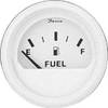
Marine Instruments 13101 Fuel Level Gauge
-
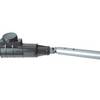
1441 HANDI- Mate O.B. Handle w/Swivel
-
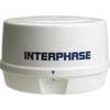
Mini RE-1 Radar engine 2KW 24km 11" 41405
-
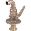
0835005PLB 3/4 Seacock w/Straight Tail
-
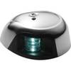
LED Navigation Light Green | Attwood 3530G7
-
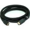
6ft 24AWG CL2 High Speed HDMI Cable w/ Net Jacket - Black
-
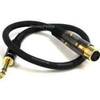
1.5ft Premier Series XLR Female to 1/4inch TRS Male 16AWG
-
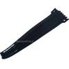
Hook & Loop Fastening Cable Ties 9inch, 10pcs/Pack - Black
-
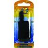
Fuel Line Connector Mercury Female Fitting 2-Prong
-
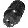
T-H Marine Tmbmp-1-Dp Ranger T/M Male Plug Black
-
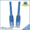
Cat6a Ethernet Cable | 35ft | Blue | Network | 10 Gigabit
-
Inc ETS084230 Computer Hardware