8267; Map-Lake Oroville/San Luis
Model: 8267 Brand: Fish-n-Map
FISH-N-MAP UNDERWATER TOPOGRAPHY MAPSMade of waterproof, tear resistant plastic. Features include: underwater depth contours, fish locations, latitude and longitude for GPS, multiple freshwater lakes on one map, boat ramps, recreational facilities and much more.
Product Specification
-
Universal Product Identifiers
Part Numbers: 082671, 234800, 432450, 8267, MSI432450GTIN: 00761428082671
Related Products
-
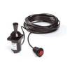
Autopilot Joystick Kit 54500060
-
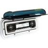
Electronics - F-MH - Marine Stereo Housing
-
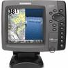
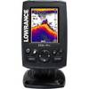
788ci HD Di Combo Down Imaging Combo 39704
-
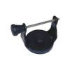
GPS receiver marine swivel mounting bracket
-
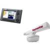
Elite-4x Sonar with 83/200kHz Transom Mount Transducer 000-10484-001
-
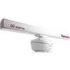
T52088 12KW 72 Open Array Super HD W15m Cable
-
Package(C90W, RA1072HD 4KW 72 Inch HD Digital Open Array Radar & 15m Radar Cable)
-
MSD/DWL-S Marine & Lakes USA
-
75ft 24AWG Cat5e 350MHz UTP Bare Copper Ethernet Network Cable - Yellow
-
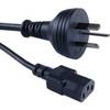
Cable Showcase Austrailian Power Cord UL/CSA, 6 ft
-
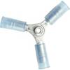
230510 3 Way Connector 16-14
-
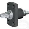
2205 Black Terminal Feed Through Connector