8265; Map-Lake Camanche/Folsom Lake
Model: 8265 Brand: Fish-n-Map
FISH-N-MAP UNDERWATER TOPOGRAPHY MAPSMade of waterproof, tear resistant plastic. Features include: underwater depth contours, fish locations, latitude and longitude for GPS, multiple freshwater lakes on one map, boat ramps, recreational facilities and much more.
Product Specification
-
Universal Product Identifiers
Part Numbers: 235310, 8265GTIN: 00761428082657
Related Products
-
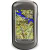
Oregon 450T Handheld GPS with Topo US Maps c38059
-
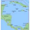
MapSource BlueChart - Southwest Caribbean - Maps
-
Marinenav Barracuda 1.5 Marine Navigation PC Computer BAR-151
-
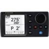
NAVPILOT 700 High-Performance, Universal Autopilot Package
-
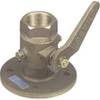
0805010PLB 2-1/2" Seacock Ball Valve Bronze
-
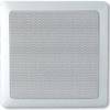
MA7060 Marine Speaker Panel 140 Watt (Pair) c12285
-
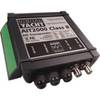
AIT2000 Class B Transponder Wgps Antenna Includes Prog
-
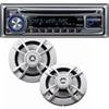
PKG-MR333 - Marine In-Dash Stereo & 6.5" 2-Way Speakers
-
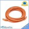
20ft 24AWG Cat5e 350MHz UTP Bare Copper Network Ethernet Cable - Orange
-
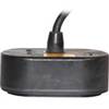
CA50B-9B 50kHz Rbr CTD for 1kW Units
-
Inc ETS046717 Computer Hardware
-
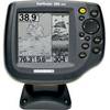
500 Series 580 Combo - Marine Chartplotter - 5" monochrome - 640 x 320