Hydrographical Surveying: A Description of the Means and Methods Employed in Construcing Marine Charts [Book]
Unlike some other reproductions of classic texts (1) We have not used OCR(Optical Character Recognition), as this leads to bad quality books with introduced typos. (2) In books where there are images such as portraits, maps, sketches etc We have endeavoured to keep the quality of these images, so they represent accurately the original artefact. Although occasionally there may be certain imperfections with these old texts, we feel they deserve to be made available for future generations to enjoy. « less
Product Specification
-
Authors: W. J. L. (William James Lloyd) WhartonPages: 418Format: paperbackPublication Date: 2012.08
-
Universal Product Identifiers
ISBN: 1290730547GTIN: 09781290730549
Related Products
-
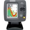
300 Series 141c - Fishfinder - included transducer : XNT-9-20-T - single-beam
-
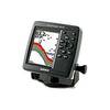
Fishfinder 340C - Fishfinder - included transducer - dual-beam
-
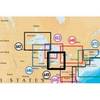
Inc MSD/649P Map, Lake Erie & Saint Clair
-
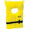
Life Vest Foam Yellow Medium
-
Flotation Cushion Red
-
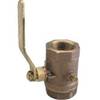
Inline Valve, 1/2 Inch Pipe
-
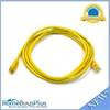
7ft 24AWG Cat6 550mhz UTP Ethernet Bare Copper Network Cable - Yellow
-
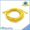
20ft 24AWG Cat6 550mhz UTP Ethernet Bare Copper Network Cable - Yellow
-
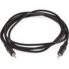
644 6ft 3.5mm Stereo Plug/Plug M/M Cable - Black
-
010-10922-00 Power Cable 2 Pin for 5000 Series
-
25ft RG6 (18AWG) 75OHM, Quad Shield, CL2 Coaxial Cable with F Type Connector - Black
-
HS5 SeaTalk hs Network Switch, A80007 c44691