3205 Lake Mead
Model: 3205 Brand: Fish-n-Map
FISH-N-MAP UNDERWATER TOPOGRAPHY MAPSMade of waterproof, tear resistant plastic. Features include: underwater depth contours, fish locations, latitude and longitude for GPS, multiple freshwater lakes on one map, boat ramps, recreational facilities and much more.
Product Specification
-
Universal Product Identifiers
Part Numbers: 032058, 234610, 3205GTIN: 00761428032058
Related Products
-
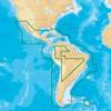
MSD/3XG Gold Central & South America - SD/Micro SD
-
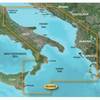
BlueChart g2 Vision - Adriatic Sea, South Coast - Maps
-
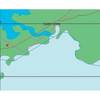
Canadian Charts Strait of Georgia-Central Part
-
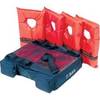
Kwik Tek T-Bag T-Top & Bimini Storage Small Pack
-
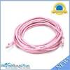
20ft 24AWG Cat5e 350MHz UTP Bare Copper Ethernet Network Cable - Pink
-
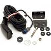
HST-DFSBL Transom Mount Transducer 50/200kHz Depth and Temp Blue Connector wdfsbl
-
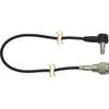
DA82S 3' Cell Adapter Cable
-
PMA6RO8L 6" Mount w/o Light Bar for Raymarine
-
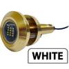
Lumishore Thru Hull Flush Fit 18 Watt Blue Underwater Light
-
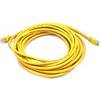
20ft 24AWG Cat5e 350MHz UTP Bare Copper Ethernet Network Cable - Yellow
-
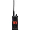
Hand Held VHF Radio HX280S
-
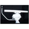
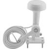
Tram 1655 8-ft Marine GPS Antenna