010-C0924-10 Bluechart G2 HAW005RThe Gulf & Red Sea Data Card
Model: 010-C0924-10 Brand: Garmin
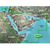
HAW005R Covers: Coverage of the Arabian Penninsula beginning at the Mediterranean Sea from Beirut to Alexandria. Coverage includes the Suez Canal, Gulf of Aqaba, and the Red Sea and Gulf of Aden in their entirety. Includes the Strait of Hormuz, Gulf of Oman, and coast of Somalia in the south. Coverage the of Kuwait, Saudi Arabia, Qatar, United Arab Emirates, along the southern coast of the Gulf and Iran along the northern coast. Coverage of Yemen and Oman coasts along the Indian Ocean to the Gulf of Oman, including Pakistan along the north coast, with general coverage of the Arabian Sea from Qamar Bay to the Delta of the Indus River. Included in this overall general coverage are numerous detailed charts covering areas such as Alexandria, Egy., Beirut, Leb., Al-Fuhaihil, Ad- Dammam, Bahrain, Ad-Dauha, and Abu Dhabi. Jiddah, Sau., Djibouti, Dji., and Aden, Yem. « less
Product Specification
-
Universal Product Identifiers
Part Numbers: 010-C0924-10, 35797GTIN: 00753759093273
Related Products
-
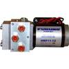
PUMPHRP11-12 1.1 Cubic Inch/Second Pump - 12V
-
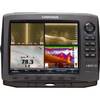
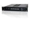
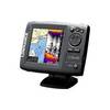
42990 HDS-10 Gen2 Insight USA 83/200kHz
-
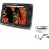
Package(e125 with aus, NZ, S. America, Asia Chart, 4KW 24 Inch Digital Radome & Radar Cable)
-
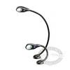
Marine LED Chart Red Light White Cvr 400 HLL-343720142
-
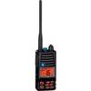
HX370SAS Intrinsically Safe Submersible 5 Watt Marine
-
Marinenav Explorer Marine Navigation PC Computer EXP-013-AMD
-
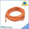
30ft 24AWG Cat5e 350MHz UTP Bare Copper Ethernet Network Cable - Orange
-
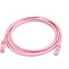
7ft 24AWG Cat5e 350MHz UTP Bare Copper Ethernet Network Cable - Pink
-
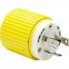
HBL305CRP Xplug 30A 125V B-Line
-
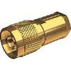
Nm8x-g Male N Connector for RG-8X Cable
-
Elite Series Elite-5 - Fishfinder - included transducer : Skimmer
-
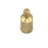
Marine Products Terminal, Spark Plug Wire 9-28122