010-C0774-10 Bluechart G2 HEU016RMediterranean Southeast Data
Model: 010-C0774-10 Brand: Garmin
See your surroundings more clearly with BlueChart g2 data. With BlueChart g2, you'll get detailed marine cartography that provides convenient viewing of nautical content. BlueChart g2 allows you to see your vessel's precise, on-chart position in relation to naviads, coastal features, anchorages, obstructions, waterways, restricted areas and more. You will also have access to detailed mapping capabilities that include Safety Shading, Fishing Charts, smooth data transition between zoom levels, harmonious transition across chart borders, and reduction of chart discontinuities. Covers: From Gulluk, Turkey east to include Cyprus, Syria, Lebanon and Israel, then west to Misratah, Libya. « less
Product Specification
-
Universal Product Identifiers
Part Numbers: 010-C0774-10, 10805075, 35621GTIN: 00753759091712
Related Products
-
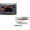
Package(E90W, GPS Antenna, 4KW 24 Inch Digital Radome & Radar Cable )
-
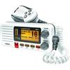
UM415 Oceanus D Marine Radio (White)
-
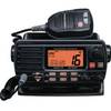
Quest 1500s VHF - Marine Radio
-
Max EN-M326 W9 Finland Lakes-MAX
-
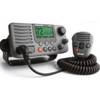
E43032 - VHF, Ray218, w/Hailer, Opt. Remote
-
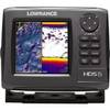
HDS-5 Gen2 Lake Insight with 83/200 kHz Transducer 000-10515-001 42968
-
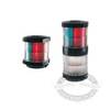
Marine 002984535 Series 2984 Navigation Lamp Tri Color Light
-
75ft 24AWG Cat6 550mhz UTP Ethernet Bare Copper Network Cable - Orange
-
6ft USB 2.0 A Male to A Female Extension 28/24AWG Cable (Gold Plated)
-
6ft 28AWG HDMI to M1-D (pd) Cable - Black
-
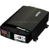
Br Wholesale RV & Marine 806-1206 Prowatt Sw 600 Inverter
-
14ft 24AWG Cat5e 350MHz UTP Ethernet Bare Copper Network 139