010-C0759-10 Bluechart G2 HAW451SRed Sea Data Card
Model: 010-C0759-10 Brand: Garmin
HAW451S Covers: Coverage of the Red Sea and Gulf of Aden in their entirety, as well as the Indian Ocean including portions of the coasts of Somalia and Oman. Also includes coverage of the Mediterranean Sea from Beirut, Leb. to Alexandria Egy., including the Suez Canal and Gulf of Aqaba. Included in this overall general coverage are numerous detailed charts covering areas such as Jiddah, Sau., Djibouti, Dji., and Aden, Yem. « less
Product Specification
-
Universal Product Identifiers
Part Numbers: 010-C0759-10, 10804722, 35591GTIN: 00753759091415
Related Products
-
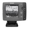
p3091 728 W/XDUCER
-
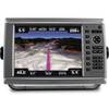
010-00751-01 - GPSMAP 6212, 12 MFD, Coastal Map
-
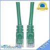
Cat6a Ethernet Cable | 25ft | Green | Network | 10 Gigabit
-
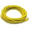
25ft 24AWG Cat5e 350MHz UTP Bare Copper Ethernet Network Cable - Yellow
-
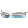
DB9 Male / DB25 Male, 9c, 6 ft Molded (UL)
-
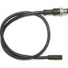
24005729 Simnet Product to NMEA 2000 Network Adapter Cable
-
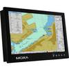
MD-124Y 24 Inches Marine Display with 16:9 Aspect Ratio. Full HD (1920x108
-
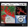
NSO15 Package - Monitor, Marine Processor, Remote, and SD Card Reader 41216
-
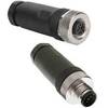
M8A5000-32DN Micro Field-Attachable Connector (Female)
-
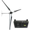
Whisper Marine Wind Turbine Whi-200 Marine with Controller
-
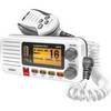
Fixed Mount VHF Marine Radio Whit UN-U*415
-
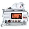
GX1500SW 25W Fixed Mount VHF Second Sta