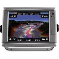
010-00749-01 - GPSMAP 7212, 12 Tchscrn MFD, Coast Map
Model: 010-00749-01 Brand: Garmin
These premier touchscreen GPS/Chartplotters all include an external GPS antenna and a worldwide, satellite enhanced basemap. In addition, the 7200 models include preloaded BlueChart g2 maps of the U.S. coastal areas, including Alaska, Hawaii, and the Bahamas. Additional maps can be easily added with the SD card slot. All units allow for the addition of sonar, radar, weather, and more. Powerful microprocessors provide ultra-fast map redraw and refresh rates with near real-time data to guide you. Live video feeds are easy with the video inputs for cameras, night vision, etc. and output options for remote display. For additional enhanced features these units accept optional BlueChart g2 Vision cards with 3-dimensional perspectives, high-resolution satellite images, Auto Guidance, and more. Includes: Waterproof (IPX7), High-sensitivity, external antenna, NMEA 0183, NMEA 2000 and PC video monitor input/outputs, SD? « less
Product Specification
-
Universal Product Identifiers
Part Numbers: 010-00749-01, 11068558, 37772, GAR0100074901GTIN: 00753759099367
Related Products
-
SIMKIT-2 Autopilot Install Kit
-
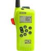
2827 Multi Channel GMDSS
-
9403 Replacement Lamp for RCL-75, 55W, 12V
-
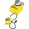
ACR Pull-Pin Vest Strobe 3961.1
-
189 50 200t-es Ducer F EC5F EC7F ES502
-
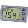
E22044 ST-40 Depth w/Thru Hull Transducer
-
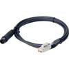
75ft 24AWG Cat6 550mhz UTP Ethernet Bare Copper Network Cable - Blue
-
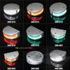
200-015 - 360 Degree Green - LED Navigation Light
-
15ft USB 2.0 A Male to Micro 5pin Male 28/24AWG Cable w/ Ferrite Core (Gold Plated)
-
LTD A3030Y50H 50 Amp to 30 Amp Y-Adapter
-
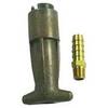
18-8083 3/8 in. Fuel Connector
-
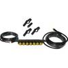
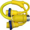
Auto Glide CANBUS#2 GPS-NMEA 2000 Network Adapter Cable Assembly