Garmin
-
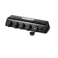
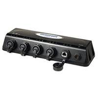
GMS? 10 Network Port Expander
-
GPS 76/GPSMAP 76 Instructional Video
-
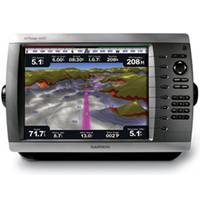
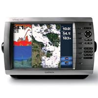
GPSMAP 4012 Network Chartplotter with Worldwide Basemap, 12.1" Diag. Screen
-
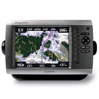
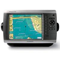
GPSMAP 4008 Network Chartplotter with Worldwide Basemap, 8.4" Diag. Screen
-
GPSMAP 4010 Network Chartplotter with Worldwide Basemap, 10" Diag. Screen
-
GPSMAP 4208 Network Chartplotter with U.S. Coastal Detail Map, 8.4"
-
GPS 19x HVS
-
GPS 19x NMEA 2000
-
GPS 16x HVS
-
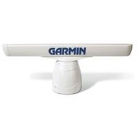
GMR 406 Antenna only, Pedestal required
-
GMR 404 Antenna only, Pedestal required
-
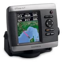
GPSMAP 421 Chartplotter
-
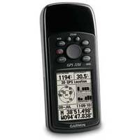
GPS 72H Handheld GPS
-
GPS 72H Handheld GPS with Marine Value Pack
-
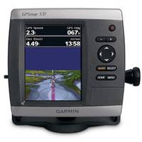
GPSMAP Chartplotter / Sounder 531s with Dual-beam Tranducer, 5"
-
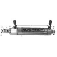
Gold Steering Cylinder Kit
-
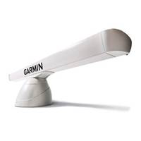
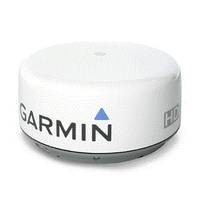
GMR!22 18 HD Radome
Sharpen your radar picture with high definition performance. The GMR 18 HD radar offers a whole new level of radar scanning capability.Get Powerful PerformanceThe GMR 18 HD features high-powered Digital Signal Processing, providing sharper radar imagery and improved target separation.This 18" (45.7 cm), 4 kW high definition radar has a 36 nm range, bringing radar images into even clearer focus. With automatic pulse optimization technology, the radar matches pulse widths and repetition rates with the nautical mile range that is selected. Combine that with the antennaâ AC!22s 5 degree beamwidth, and youâ AC!22re looking at the best weather penetration and target definition in its class.To help you avoid traffic on the water, the GMR 18 HD provides MARPA target tracking when combined with a multi-function display and an optional heading sensor. MARPA tracking allows you to track the bearing, course, speed and predicted closest approach of up to 10 targets. In addition, like all Garmin radars, the GMR 18 HD has self-contained signal processing, which provides you with a more precise, easy to read signature.Connect to the Garmin Marine NetworkThe GMR 18 HD transmits data over the Garmin Marine Network, a 100 MB plug-and-play proprietary network that gives you the ability to expand your boatâ AC!22s system as needed. Once connected to the network, you can use any network-compatible Garmin chartplotter as your radar screen. And as an aid to locational awareness, you can overlay the GMR 18 HD radar image on the chartplotter's map page. You also can split the on-screen display so you can view the map and the standard radar page simultaneously.
-
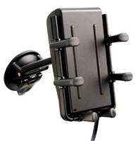
GPS 20SM Receiver Sensor Only
Garmin GPS 20SM Receiver Designed for smartphones, this portable 4-in-1 smart mount combines a high-sensitivity GPS receiver, Bluetooth hands-free kit, adjustable phone cradle and 12-volt phone charger. The GPS 20SM easily adjusts to fit a variety of smartphones and moves from vehicle to vehicle.
-
GMS10
With Garmin the GMS10 boaters can connect a GPS antenna and one remote sensor directly to the MFD, or, with the addition of the Garmin GMS 10 Network Port Expander, users can connect multiple MFDs and sensors to the same network. Each networked MFD can be configured independently.
-
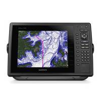
GPSMAP 1000
10" Keyed Chartplotter for Cruising, Sailing or Fishing 10 1D color SVGA display with keyed control Preloaded with worldwide basemap High-sensitivity internal 10 Hz GPS/GLONASS receiver Supports optional GCV!22 10 black box sonar that adds both DownVü and Garmin SideVü!22 scanning sonar with CHIRP technology (sold separately) Compatible with LakeVü!22 HD Ultra, BlueChart® g2 and BlueChart g2 Vision® Supports all Garmin marine radarThe 10 1D color GPSMAP 1020 keyed chartplotter has a preloaded worldwide basemap. The built-in 10 Hz GPS/GLONASS receiver updates your position and heading 10 times per second.NMEA 2000® SupportThis combo allows you to add more capabilities to your boat. It provides NMEA 2000 support so you can see valuable information on your screen for Garmin autopilot, engine data, SiriusXM Weather radar and more.Radar SupportAdd your choice of marine radar, either open array or our new xHD dome radar that pair ease of use with advanced open array features.NetworkingThe GPSMAP 1020 offers select networking capabilities that allow you to share features with other compatible GPSMAP units, such as radar, GCV 10 DownVü and SideVü scanning sonar, supplemental maps, and user data, including waypoints, routes and tracks. User data entered into one chartplotter can be automatically synced with other chartplotters in a network.Special Sailing FeaturesSupported sailing features include laylines, enhanced wind rose, heading and course-over-ground lines, true wind data fields and tide/current/time slider.GND!22 10 Black Box InterfaceThe GND 10 black box interface seamlessly integrates Nexus instruments and sensors with the Garmin family. It converts data between the Nexus network and NMEA 2000 to provide trouble-free compatibility between Nexus and Garmin products, including gWind!22 and gWind Race wind transducers.Compatible with gWind TransducersGarmin gWind, gWind Wireless and gWind Race transducers feature twin-fin technology with 3-bladed propeller. Connect to the NMEA 2000 and compatible Garmin chartplotters via the GND 10 black box bridge.Get Your Apple® Device Onboard with BlueChart® MobileWith BlueChart Mobile, a free app downloaded from the App Store!22, you can plan marine routes on your iPad® or iPhone® then wirelessly transfer them to your boat 19s compatible networked Garmin chartplotter. Even if you don 19t have a Garmin chartplotter, you can still take advantage of the tremendous features of BlueChart on your Apple device.View and Control Your Device From an iPhone or iPadGarmin Helm!22 allows you to view and control your compatible Garmin chartplotter from an iPhone or iPad 14 while providing enhanced situational awareness for the mariner. Easily switch between portrait and landscape mode to accommodate mounting preferences. Using your Apple digital mobile device, you can even record a movie of your chartplotter screen to share with friends and family. Download from the App Store today.A
