Products
-
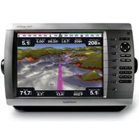
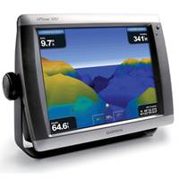
GPSMAP 4012 Network Chartplotter with Worldwide Basemap, 12.1" Diag. Screen
-
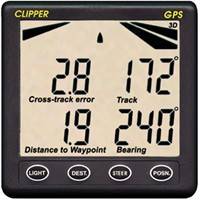
GPS Repeater
Clipper GPS Repeater, see Clipper GPS Repeater features below.
-
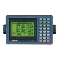
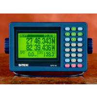
GPS-90 MKII 18-Channel GPS Receiver w/LORAN TD Conversion
SI-TEX GPS-90 MKII 18-Channel GPS Receiver w/LORAN TD Conversion, see SI-TEX GPS-90 features below.
-
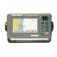
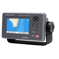
GPS-95CP Color LCD GPS/WAAS Chartplotter
SI-TEX GPS-95CP Color LCD GPS/WAAS Chartplotter, see SI-TEX GPS-95CP features below.
-
GPS 95CPI GPS Plotter w/Internal Antenna
SI-TEX GPS 95CPI GPS Plotter w/Internal Antenna, see SI-TEX GPS features below.
-
GPSMAP 5208 Network Chartplotter with U.S. Coastal Detail Maps, 8.4"
-
GPSMAP 5012 Touch Screen Chartplotter, Worldwide Basemap, 12.1"
-
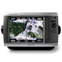
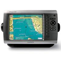
GPSMAP 4008 Network Chartplotter with Worldwide Basemap, 8.4" Diag. Screen
-
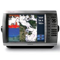
GPSMAP 4010 Network Chartplotter with Worldwide Basemap, 10" Diag. Screen
-
GPSMAP 4208 Network Chartplotter with U.S. Coastal Detail Map, 8.4"
-
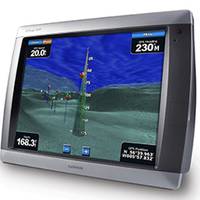
GPSMAP 5015 Chartplotter with GPS, Worldwide Basemap, 15"
-
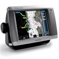
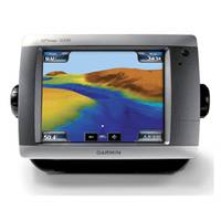
GPSMAP 5008 Touch Screen Chartplotter, Worldwide Basemap, 8.4"
-
GPS200 WAAS Antenna/Receiver
-
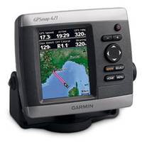
GPSMAP 421 Chartplotter
-
GPSMAP 5208 Bail Mount (replacment)
-
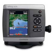
GPSMAP 421s Chartplotter/Sounder with No Transducer
-
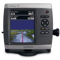
GPSMAP Chartplotter / Sounder 531s with Dual-beam Tranducer, 5"
-
GPS-90MKII
The GPS-90MKII has the most wanted features like built-in differential beacon receiver, graphic navigation pages, track plotter and large display.90mkDescription Full keypad allows quick waypoint entry, no tedious scrolling Repeatable accuracy to ten feet Large, easy-to-read backlit Lat/Lon or Loran LOP display Graphic and digital compass displays "Electronic Fairway" displays boat on rhumbline course, cross-track error plus progress to desired waypoint 400 nameable waypoints and event-memory storage Automatic Lat/Lon to LOP Conversion to transfer favorite Loran fishing hotspots MOB mode NMEA 0183 data port Rugged, weatherproof construction
-
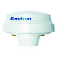
GPS200 NMEA 2000 Antenna Receiver
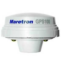
Maretron GPS200 NMEA 2000 GPS Antenna Receiver provides reliable position fixes 10 times per second, accurate boat speed four times per second, and precision time once per second.
-
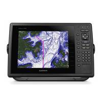
GPSMAP 1000
10" Keyed Chartplotter for Cruising, Sailing or Fishing 10 1D color SVGA display with keyed control Preloaded with worldwide basemap High-sensitivity internal 10 Hz GPS/GLONASS receiver Supports optional GCV!22 10 black box sonar that adds both DownVü and Garmin SideVü!22 scanning sonar with CHIRP technology (sold separately) Compatible with LakeVü!22 HD Ultra, BlueChart® g2 and BlueChart g2 Vision® Supports all Garmin marine radarThe 10 1D color GPSMAP 1020 keyed chartplotter has a preloaded worldwide basemap. The built-in 10 Hz GPS/GLONASS receiver updates your position and heading 10 times per second.NMEA 2000® SupportThis combo allows you to add more capabilities to your boat. It provides NMEA 2000 support so you can see valuable information on your screen for Garmin autopilot, engine data, SiriusXM Weather radar and more.Radar SupportAdd your choice of marine radar, either open array or our new xHD dome radar that pair ease of use with advanced open array features.NetworkingThe GPSMAP 1020 offers select networking capabilities that allow you to share features with other compatible GPSMAP units, such as radar, GCV 10 DownVü and SideVü scanning sonar, supplemental maps, and user data, including waypoints, routes and tracks. User data entered into one chartplotter can be automatically synced with other chartplotters in a network.Special Sailing FeaturesSupported sailing features include laylines, enhanced wind rose, heading and course-over-ground lines, true wind data fields and tide/current/time slider.GND!22 10 Black Box InterfaceThe GND 10 black box interface seamlessly integrates Nexus instruments and sensors with the Garmin family. It converts data between the Nexus network and NMEA 2000 to provide trouble-free compatibility between Nexus and Garmin products, including gWind!22 and gWind Race wind transducers.Compatible with gWind TransducersGarmin gWind, gWind Wireless and gWind Race transducers feature twin-fin technology with 3-bladed propeller. Connect to the NMEA 2000 and compatible Garmin chartplotters via the GND 10 black box bridge.Get Your Apple® Device Onboard with BlueChart® MobileWith BlueChart Mobile, a free app downloaded from the App Store!22, you can plan marine routes on your iPad® or iPhone® then wirelessly transfer them to your boat 19s compatible networked Garmin chartplotter. Even if you don 19t have a Garmin chartplotter, you can still take advantage of the tremendous features of BlueChart on your Apple device.View and Control Your Device From an iPhone or iPadGarmin Helm!22 allows you to view and control your compatible Garmin chartplotter from an iPhone or iPad 14 while providing enhanced situational awareness for the mariner. Easily switch between portrait and landscape mode to accommodate mounting preferences. Using your Apple digital mobile device, you can even record a movie of your chartplotter screen to share with friends and family. Download from the App Store today.A
