MapSource BlueChart - Chesapeake - Maps
Model: Brand: Garmin
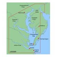
MapSource BlueChart is Garmin's exclusive marine cartography and was developed to provide you with mapping flexibility and options you've never had before. This line of cartography products is designed to provide interactive viewing of detailed nautical chart data, thereby providing navigators with innovative object-oriented cartography. These detailed electronic nautical charts look just like paper charts when displayed on your Garmin chartplotter. Features include shading between depth contours, spot soundings, navaids, port plans, wrecks, obstructions, inter-tidal zones, and more. BlueChart offers much larger coverage areas for half the price. MapSource BlueChart Chesapeake provides detailed coverage of Baltimore through Virginia Beach, including the entire Chesapeake Bay, the C&D canal, Norfolk and Cape Charles. « less
Product Specification
-
General
Product Type: MapsDistribution Media: Garmin Data CardFirst Seen On Google Shopping: January 2006 -
Compatibility Information
Designed For: Garmin GPSMap 172C, 176, 176C, 178C, 178C Sounder, 182, 182C, 188 Sounder, 188C Sounder, 196, 2006, 2006C, 2010, 2010C, 2106C, 2110C, 2206C, 2210C, 232, 238 Sounder, 276C, 292C, 296, 298C, 3006C, 3010c, 3205C, 3206C, 3210C, 376C, 392C, 396C, 492C, 498C -
Universal Product Identifiers
Part Numbers: 010-C0020-00, 010-C0058-00, ChesapeakeGTIN: 00753759031671
Related Products
-
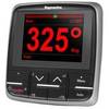
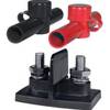
E22166 P70 Autopilot Control Head
-
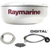
T92182 RD424D 4KW 24 in Dome with Cable
-
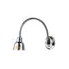
Ocean Chart Lamp, Medium
-
PC Planner for Max Chart without Memory Card c15300
-
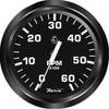
32804 4" Tachometer, 6K, Gas Inboard & I/O
-
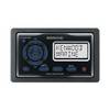
KCA RC107MR Marine CD receiver remote control unit
-
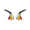
Video / audio cable - Male RCA to M RCA
-
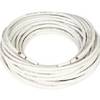
1ft 24AWG Cat5e 350MHz UTP Bare Copper Ethernet Network Cable - Gray
-
2018 Dual PowerPost Cable Connectors
-
Mount 4079 1m RG58 W PL259 Connector
-
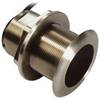
B75-0-L Broadband Chirp 0 Degree Tilt, No CONNECTOR, Depth & Temperature Thru-Hull Tilted
-
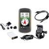
010-00924-07 Montana Marine Bundle - Mount, AC Charger, USB, Ba