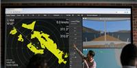
Raymarine, a brand of FLIR Systems, and Navionics, a leader in content and location-based services for the recreational boating and outdoor markets, have collaborated to make several new features available on Raymarine’s LightHouse II based multifunction displays, including Navionics’ award-winning Dock-to-dock Autorouting, SonarChart Live and Advanced Map Options.
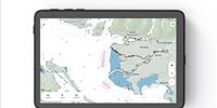
A breakthrough in marine navigation, Navionics Dock-to-dock Autorouting creates intelligent, detailed routes through narrow passages and channels where they’re needed most. Raymarine users can choose their start and end points, then can take advantage of Navionics’ sophisticated algorithms which calculate a detailed route that takes into consideration chart data, navigation aids, and water depth.
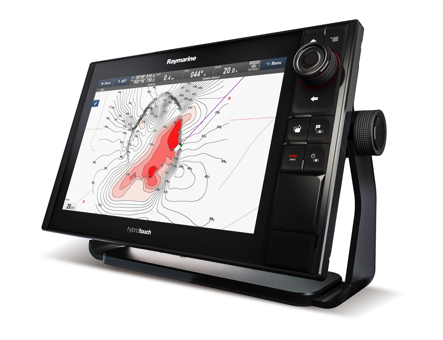
SonarChart Live works with Raymarine multifunction displays, allowing boaters to create personal 1 ft/0.5 m HD bathymetry maps in real time. With SonarChart Live, Raymarine users can engage their sonar to survey new areas or places where bottom conditions may have changed, and then create new bathymetric charts that appear on their device instantly. In addition, Raymarine users can upload their sonar data automatically and download updated charts easily via the innovative Plotter Sync capability of Navionics Boating apps. Other Navionics users can also benefit from the newly surveyed areas as the data is integrated within Navionics’ SonarChart library and made available through Navionics’ daily chart updates program.
Engineered with anglers in mind, the new Advanced Map Options give Raymarine users the ability to customize their view of Navionics chart presentation by highlighting shallow areas, selecting a fishing range, and adjusting SonarChart contour density.
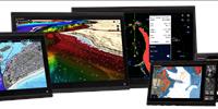
All the new Navionics functionality is available for Raymarine a, c, e, eS and gS Series MFD models produced after 2011, updated with Lighthouse II Release 17 software.