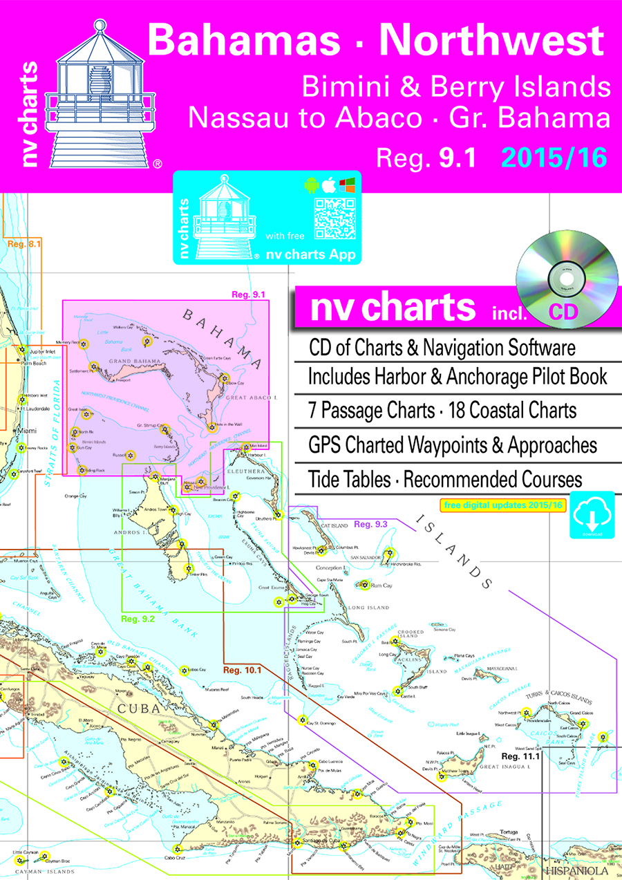
nv charts announces the release of its newly updated chart set for Region 9.1, Bahamas Northwest, including Bimini and Berry Islands, Nassau to Abaco, and Grand Bahama, for 2015/2016 in paper and digital format.
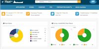
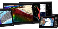
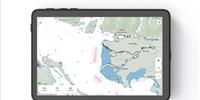
The chart set includes a CD of digital charts, including free navigation software, plus the free nv charts Mobile App for iOS and Android mobile devices, for real-time navigation with tablet devices. The App includes free digital updates for this chart set for 2015/2016. Nv charts are relied on for accuracy and dependability by recreational boaters, professional mariners, and the U.S. Coast Guard.
The new Region 9.1 chart set now features a compact, fold-over format (un-bound ‘booklet’ style) that reduces the physical size of the paper chart set by half (but not the cartography itself) for ease of use on today’s smaller navigation stations and chart tables. “Since these charts are produced from our own cartographic databases, rather than simply copied from government sources, we have designed them so that no critical elements are in the crease, or fold, where they might lose definition over time from use and wear,” stated Hasko Scheidt, CEO.
The new Region 9.1 release is updated and meticulously surveyed and now available just in time for cruising the Caribbean Sea during the upcoming winter months. The set is available in a variety of formats – paper, digital, memory cards for chartplotters, and with the aforementioned nv charts’ App for navigation with mobile devices. Region 9.1, Bahamas Northwest, is designed for sailors, motor boaters, fishermen and professional mariners, and cruising enthusiasts. It includes the following:
- 7 Passage Charts
- 18 Coastal Charts
- Includes Harbor and Anchorage Pilot Book
- GPS Charted Waypoints and Approaches
- CD of digital Charts, including free Navigation Software
- Tide Tables and Recommended Courses
The chart set is based on reliable data from various sources including nv charts’ own survey data, with clear cartography and conformity with international chart standards. nv charts offer unique features not found in other chart sets, e.g., more distinctive shore and shallows cartography, aids to navigation and light characteristics, tidal information, and even helpful pages in the back outlining symbols, legends, and other data that help the navigator interpret the information in the chart. The cartography is visually distinct; unique color differences make specific depths, shoals, reefs, exposed tidal areas stand out for quick, easy recognition. Also, lighthouses illustrate their light characteristics for better identification. Legend pages at the back of the set provide a guide to symbols, legends, and other data that help the navigator interpret the information in the chart. nv charts products in digital format are also available on SD memory cards for chartplotters including Lowrance, Simrad, and B&G chartplotter systems, and are compatible with all instruments in the Lowrance HDS Series, Gen. 1 & 2; Simrad NSE, NSS, and NSO systems; and all B&G Zeus series systems. nv charts in all available formats can be easily purchased online.